Fundy Footpath
Map
Quick Facts
| Difficulty | strenuous |
| Trail Type | linear |
| Distance | 42.7 km one way |
| Estimated Time | 4 days |
| Surface Type | forested, beach |
| Elevation Change | 214 meters |
| Features | coastal landscape |
| Trail Markers | white blazes |
| Scenery Rating | must-see |
| Maintenance Rating | well maintained |
| Cell Reception | variable |
| Dog Friendly | yes |
| Fees | donations accepted |
Galleries
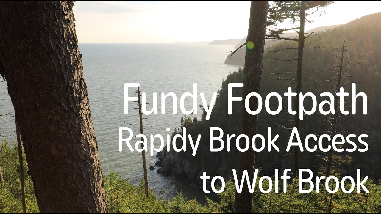
Videos
Trail Sections:
For more information, pictures and videos check out the page for each trail section.
Store
Description
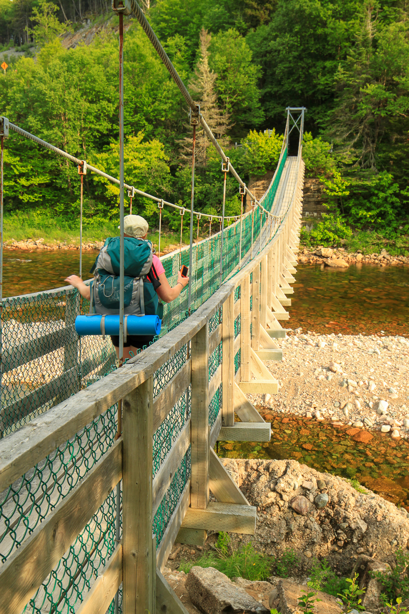
Hiking the full Fundy Footpath is a serious undertaking. The terrain is strenuous with a lot of ups and downs. The total elevation gain with these ups and downs is over 10,000 feet. The Footpath is 41 km long from the Fundy Trail Parkway Visitor Center in St. Martins to the edge of Fundy National Park. You will need to hike another 9 km on the the new Goose River Trail (2018) in Fundy Park to access the trail. The trail is on the longest contiguous undeveloped stretch of coastline south of Quebec. There are many backcountry campsites along the trail. The trail and the campsites are maintained by volunteers so do your part to keep the trail clean.
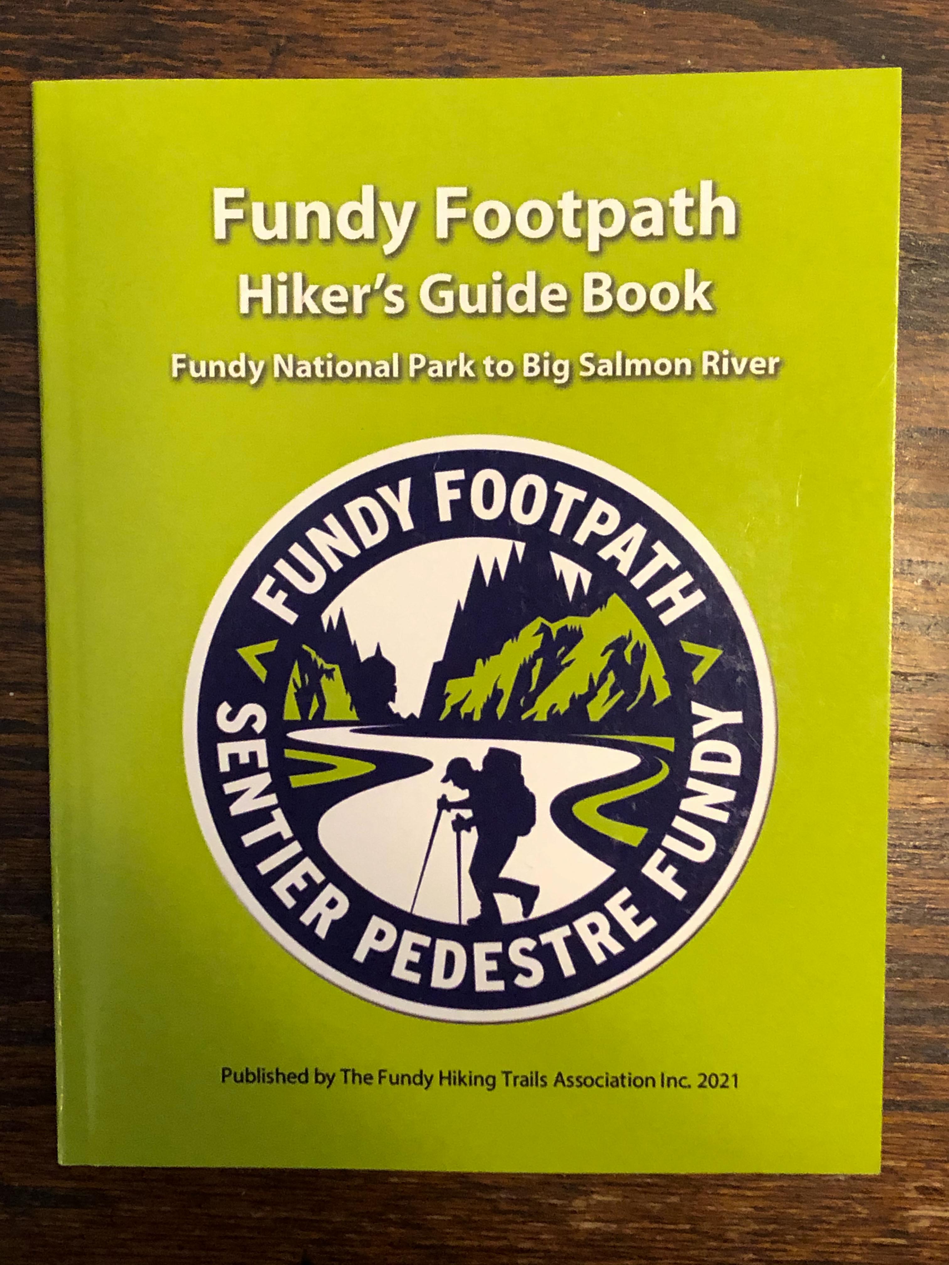
If you plan to hike the full trail make sure you pick up a Fundy Footpath Guidebook (link below). It includes everything you need to know about hiking the Footpath including a waterproof topo map, safety information and information on what to bring. It also has detailed descriptions of each section of the trail.
The many access trails mean you can also section hike the trail but most of the access points are remote woods roads so use caution, know where you are going and tell someone.
If you enjoy the Fundy Footpath please consider volunteering with Fundy Hiking Trail Association. You can also make donations to help keep this trail in great condition.
For more details I have created a trail page for four sections of the trail. Note: all distances are horizontal GPS distances. They do not take into account the many steep ups and downs which add distance.
Directions
The Fundy Footpath can be accessed from the Big Salmon River Visitor Center at the Fundy Trail Parkway. Park in the lower parking lot (P8) next to the river. Follow the crushed rock trail up towards the bridges and cross the footbridge. On the other side of the footbridge turn right and follow the crushed rock trail down to the shore. Follow the trail along the shore until it enters the woods.
The other end of the Fundy Footpath begins at the end of the Goose River Trail at Fundy National Park. Note that the 9 kilometre Goose River trail was changed in 2018 and now follows the coast from the end of the Coppermine Trail west to Goose River. The new Goose River Trail now includes what used to be the Fundy Footpath Link Trail. This trail was developed to provide access to the Fundy Footpath at high tide. The link trail can be found across from one of the campsites on the top of the hill from Goose River, just past a small bridge on the right.
The Fundy Footpath can also be accessed from the Walton Glen Gorge Trail and several other remote access trails. Directions to each of the access trails are included in their corresponding trail sections below.

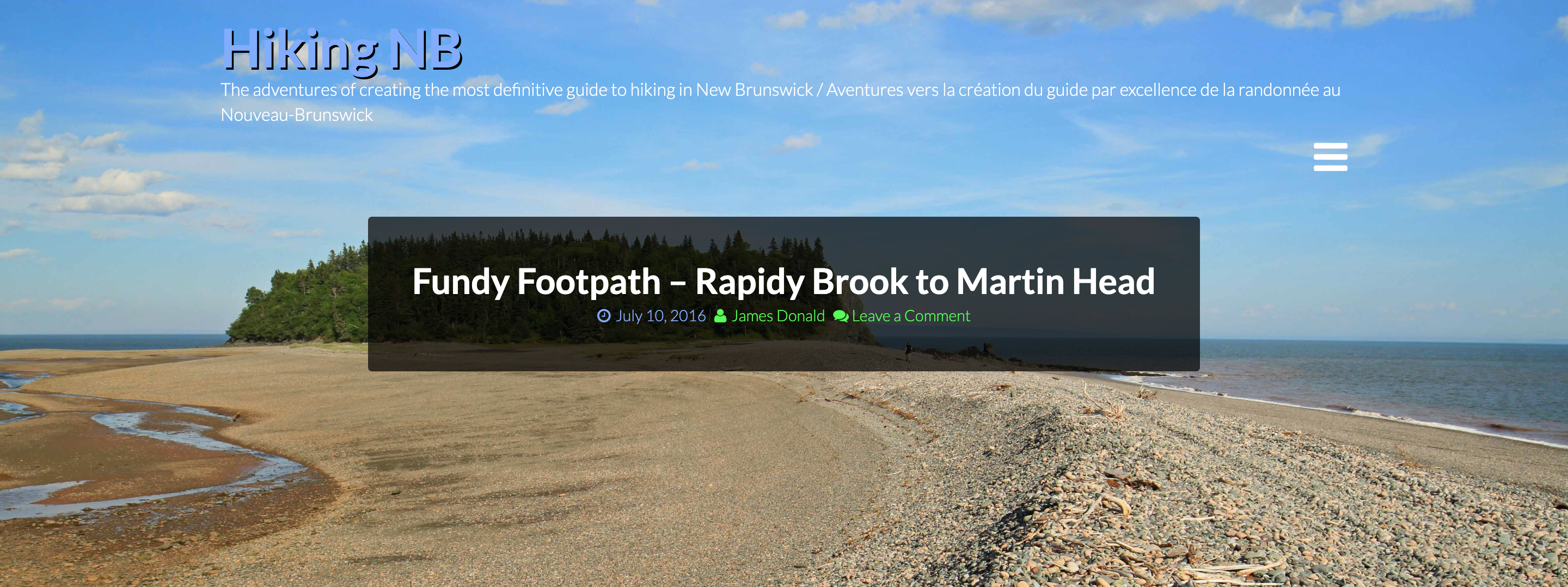
Blog Posts


Other Trails in the area:
External Links

Trail Last Hiked: July 1, 2018.
Page Last Updated: September 5, 2022.