Fundy Coastal East Region
Map
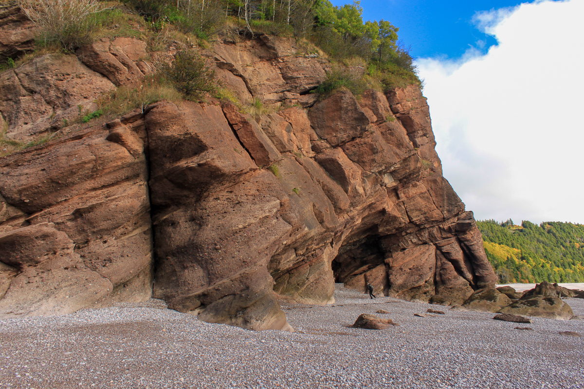
The Fundy Coastal East region is defined by the Bay of Fundy tides. These tides rise and fall by 16 meters twice a day. The tides carve the coast into a rugged landscape that's home to the Fundy Footpath, Fundy National Park and the Fundy Trail Provincial Park.
The Fundy Footpath is a 41 kilometre wilderness coastal trail that travels along the coast between the Fundy Trail Provincial Park and Fundy National Park. It is the most popular and most challenging long distance trail in the province.
The region also includes the 58 kilometre wilderness trail that travels from Fundy National Park all the way to the Town of Riverview.
Store


Video

Galleries