Caribou Brook Trail
Gallery

Store

Quick Facts
| Difficulty | moderate |
| Trail Type | linear |
| Distance | 5.2 km |
| Estimated Time | 1 hr 45 mins one way |
| Surface Type | forested |
| Elevation Change | 78 meters |
| Features | forest |
| Trail Markers | purple squares |
| Scenery Rating | beautiful |
| Maintenance Rating | variable |
| Cell Reception | none |
| Dog Friendly | on a leash |
| Fees | park entrance - cash only |
Map
Directions
For directions to the park go to the Mount Carleton Park page.
From the park gate travel 7.3 km on the main park road around the south of Little Nictau Lake, until you come to the trail head for Mount Sagamook on the right. Park here and start hiking on the Mount Sagamook Trail at the far end of the parking lot. After 175 meters on the Trail you will come to a trail junction. Continue straight on the Caribou Brook Trail.

The other end of the Caribou Brook Trail can be accessed from Bathurst Lake. From the park entrance travel 1 km and then turn left towards the Armstrong Campground. Travel 12 km on this road and you will come to a small loop road on the right. Park around this loop. You can access the road to Bathurst lake behind the gate at the back of the loop. Follow the access road to the lake. You will find the entrance to the Dry Brook Trail on the right of the clearing by the lake. Follow the Dry Brook Trail for 1.2 km and you will come to a trail junction. Turn right onto the Caribou Brook Trail.
Description
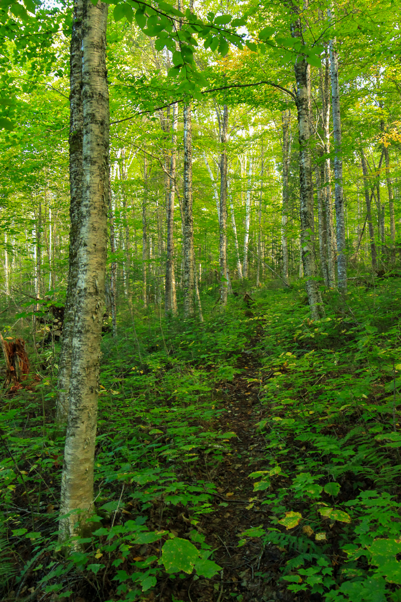
The Caribou Brook Trail travels along the bottom of Mount Sagamook through a hardwood ridge. It has several ups and downs but nothing too steep or long. After Mount Sagamook the trail drops into the valley and travels along Caribou Brook. There are lots of signs of moose in this area. At one point near a view of Caribou Brook you can see a very well worn moose path that crosses the brook and the trail.
At this point the trail travels through a mainly softwood forest with several spruce/fir thickets. The trail then comes to the dry streambed that is aptly named Dry Brook. After just over 1 km the Dry Brook Trail emerges into the clearing near Bathurst Lake.
The Caribou Brook Trail is not the most interesting trail in the park but it provides a great way to make a loop by climbing the Mount Sagamook Trail, crossing the plateau on the Mount Head Trail, descending the Dry Brook Trail and returning on the Caribou Brook Trail. If you have time make sure you go to the end of the Mount Head Trail and climb up to the Mount Carleton peak.
Caribou Brook is named for the herds of Caribou that roamed this part of the province over 100 years ago.

Trail Last Hiked: September 10, 2016.
Page Last Updated: April 4, 2020.