Kierstead Mountain Falls Trail
Gallery
Store

Quick Facts
| Difficulty | moderate |
| Trail Type | linear |
| Distance | 420 metres |
| Estimated Time | 20 mins return |
| Surface Type | old road, forested |
| Elevation Change | 43 meters |
| Features | watefall |
| Trail Markers | none (old road) |
| Scenery Rating | beautiful |
| Maintenance Rating | well maintained |
| Cell Reception | minimal |
| Dog Friendly | yes |
| Fees | none |
Description
The trail to Kierstead Mountain Falls is an old road that descends the hill along the stream. After a short distance through a fir forest the trail will descend into a dip where the road starts to climb a bit. In this dip listen for the rushing water on your left and watch for the ground to drop off towards the stream. Look for signs of trails descending into the stream valley and follow them towards the sound of the falls. Follow these down to the stream and you should come out close to the falls. Make sure you are aware of your surroundings. Keep the old road visible to make sure you can find your way back if you don't find the falls. Once you get to the falls there is a well-used trail back up the hill to the old road.

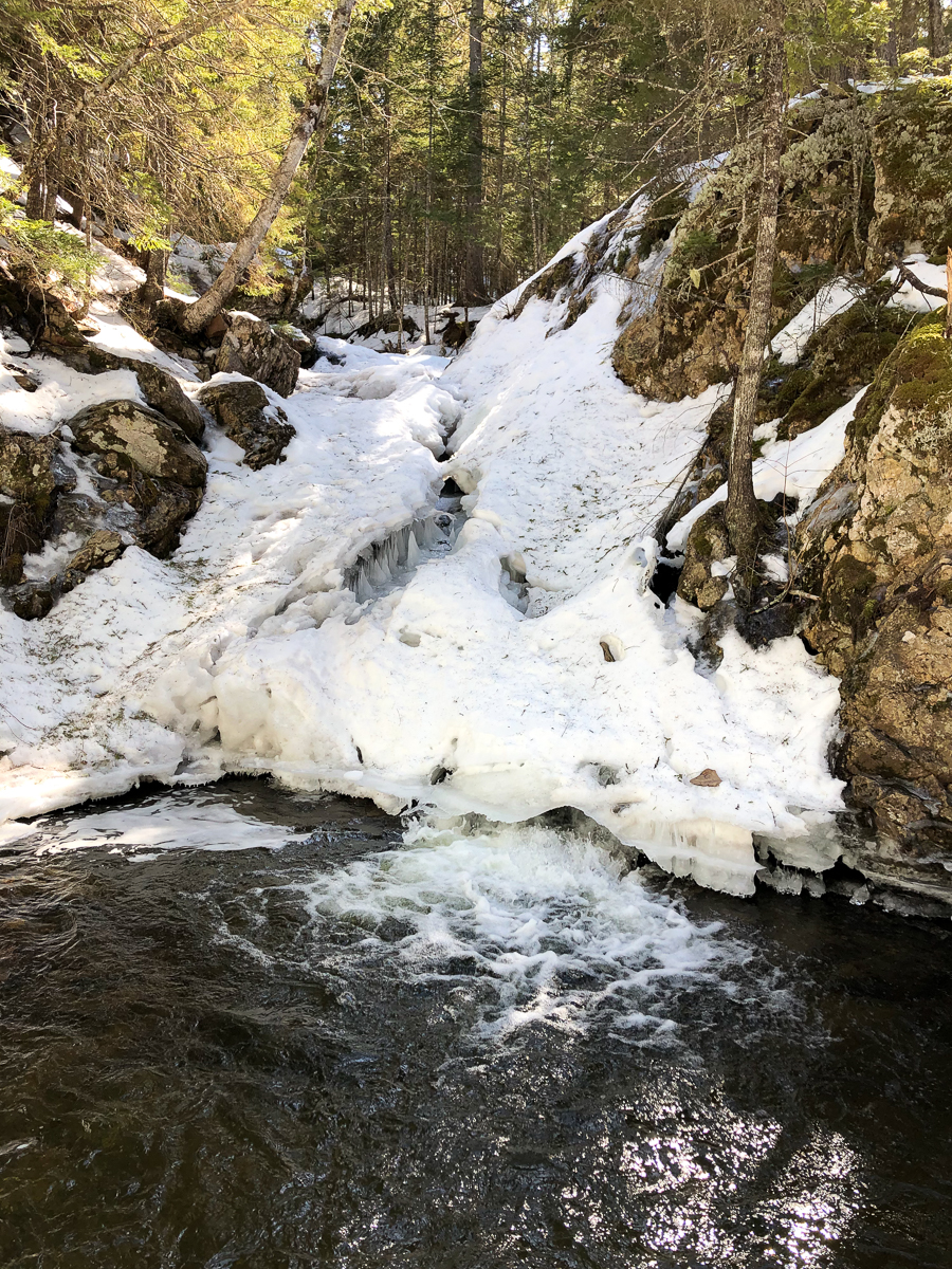
Kierstead Mountain Falls is a small waterfall that tumbles down through a narrow crack in the rock face. After flowing into the pool below it takes a 90 degree turn to the left before meandering down through the stream valley.
On our visit we tried to follow a trails app and ended up continuing on the road until it disappeared. We then had to find our way back up through the stream valley to the falls. There were other snowshoe tracks and people down in the stream valley below the falls so we weren't the only ones off trail. The trail may be more clearly defined in the summer.
Map

Directions
From Route 2 in Youngs Cove, take route 10 towards Sussex. Drive for 15 kilometres and look for a wide shoulder of the road just before the Kierstead Mountain sign. If you come to a small cemetery on the right you have gone too far. Park in this wide parking area and then walk past the sign for Kierstead Mountain. The old road will descend towards the stream before you come to the guardrail.

If you are coming from Sussex travel for just under 20 kilometres on route 10 and look for the small cemetery on the left. Continue past the cemetery and just past the guardrail on the left look for a wide shoulder on the road. When you find the wide shoulder park and find the Kierstead Mountain sign. The old road descends towards the stream between the sign and the guardrail.

Trail Last Hiked: March 21, 2021.
Page Last Updated: November 27, 2021.