Henderson Falls (Shaw Falls) Trail
Gallery

Store
Quick Facts
| Difficulty | moderate |
| Trail Type | linear |
| Distance | 68 metres |
| Estimated Time | 15 mins |
| Surface Type | forested |
| Elevation Change | 19 metres |
| Features | waterfall |
| Trail Markers | signs |
| Scenery Rating | beautiful |
| Maintenance Rating | well maintained |
| Cell Reception | none |
| Dog Friendly | yes |
| Fees | none |
Description
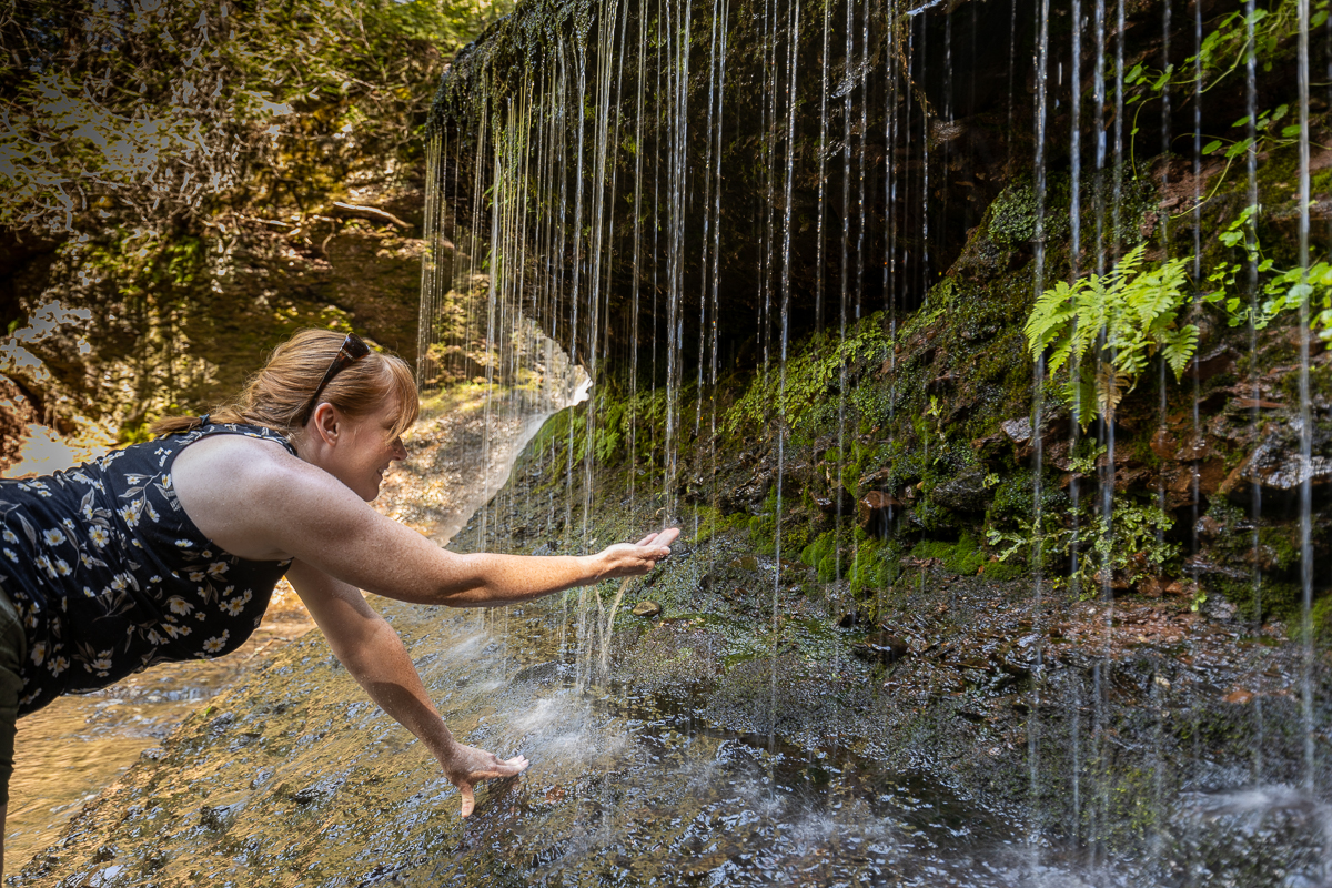
The trail to Henderson Falls is a short trail to a beautiful waterfall. Just past the house the trail splits. The stairs down to the right takes you down below the falls. Continue to the left takes you out to the top of the falls. The main falls flows over a unique rounded rock overhang made of the conglomerate rock that is prominent in this area. This makes the falls a wide curtain of water. It's best to visit this falls in the spring or after a significant rainfall so the falls covers the wide rocky outcrop.
The trail out to the upper part of the falls takes you to a clearing with a picnic table. Between the clearing and the top of the falls you will notice a trough. On our visit a man explained that this was dug to feed a waterwheel that used to be on the site, when the top of the falls was dammed.
If you continue along the stream above the falls you will soon come to another smaller waterfall that flows over a long slanted rock face.
The pool below the main falls (2 to 3 feet deep) is shallow but enough to swim in on a hot day.
Map

Directions
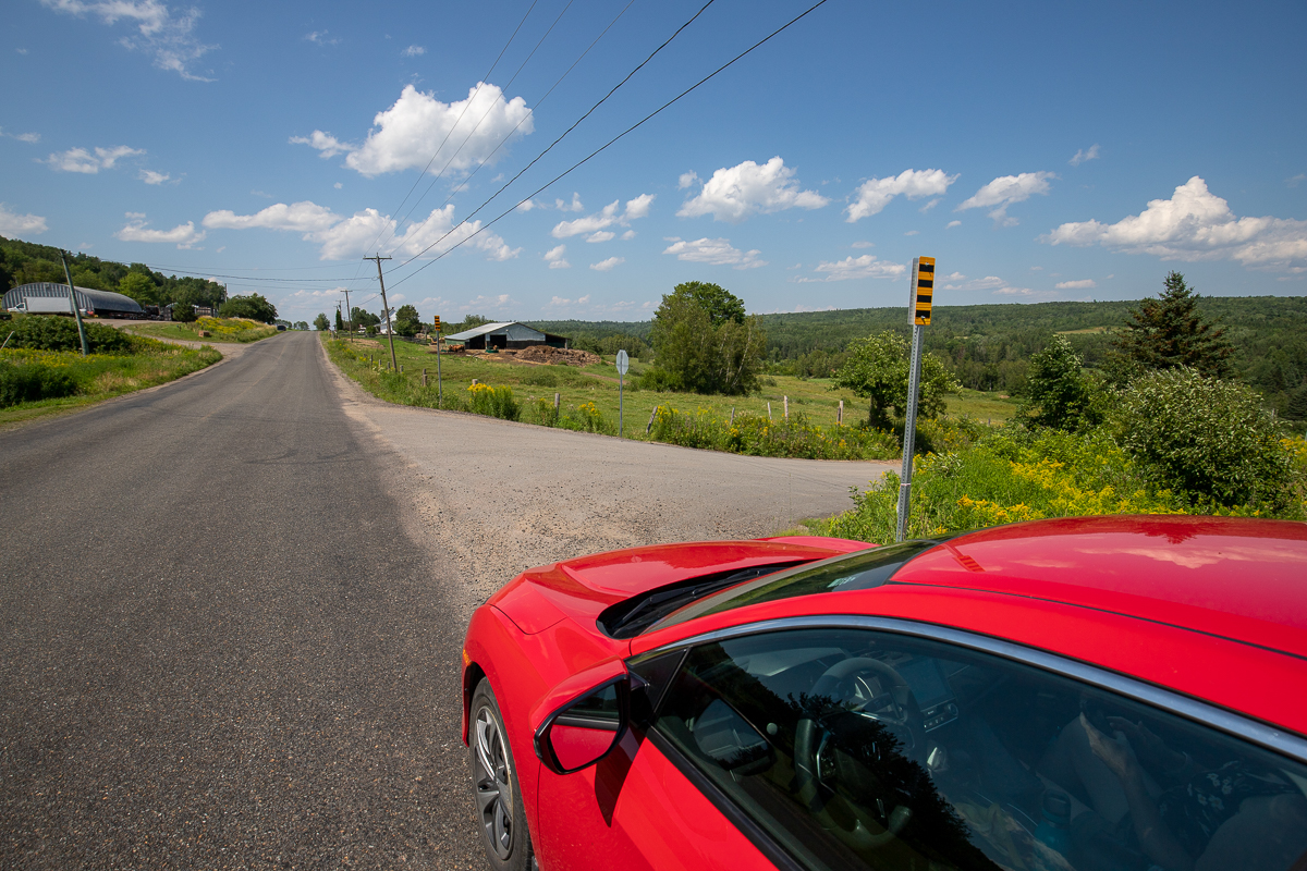
Take route 710 between Cambridge-Narrows and Hatfeild Point. About halfway (~15 km) you will come to Henderson Settlement. When passing through Henderson Settlement look for Shaw Road going down the hill through the fields. Turn onto Shaw Road and at a kilometre the road turns sharply to the left. Just past the turn you will see a parking area on the right. Park here. You will find signs pointing to the entrance to the trail on the right hand side of the house on the right.

Trail Last Hiked: July 23, 2022.
Page Last Updated: November 20, 2022.