Town of Hampton
Map
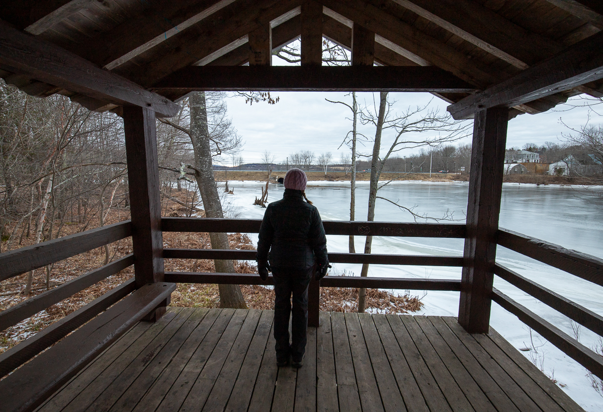
The Town of Hampton is at a point in the Kennebecasis River where the tidal waters from the Bay of Fundy push up against the narrow meandering upper part of the river. This means the area is full of marshes and wetlands. The Town of Hampton has two main trail systems.
The first is Spooner Island that travels around the small Spooner Island and then along Main Street until it reaches the High School. Dutch Point Park travels through the woods behind the Primary and Elementary schools and along a larger wetland. There are also several small side trails off the main, wide, crushed rock trails.
Podcast
Episode 6: The History of Spooner Island

Galleries

Store

Trails in the Town
- Spooner Island Trail
- Ducth Point Park Trails (coming soon)