Lorneville Link Trail
Gallery
Quick Facts
| Difficulty | moderate |
| Trail Type | linear |
| Distance | 3.5 km (+1 km at high tide) |
| Estimated Time | 2 hrs return |
| Surface Type | forested |
| Elevation Change | 40 meters |
| Features | coastal views |
| Trail Markers | orange flagging tape |
| Scenery Rating | beautiful |
| Maintenance Rating | well maintained |
| Cell Reception | strong |
| Dog Friendly | yes |
| Fees | by donation |
Store

Description
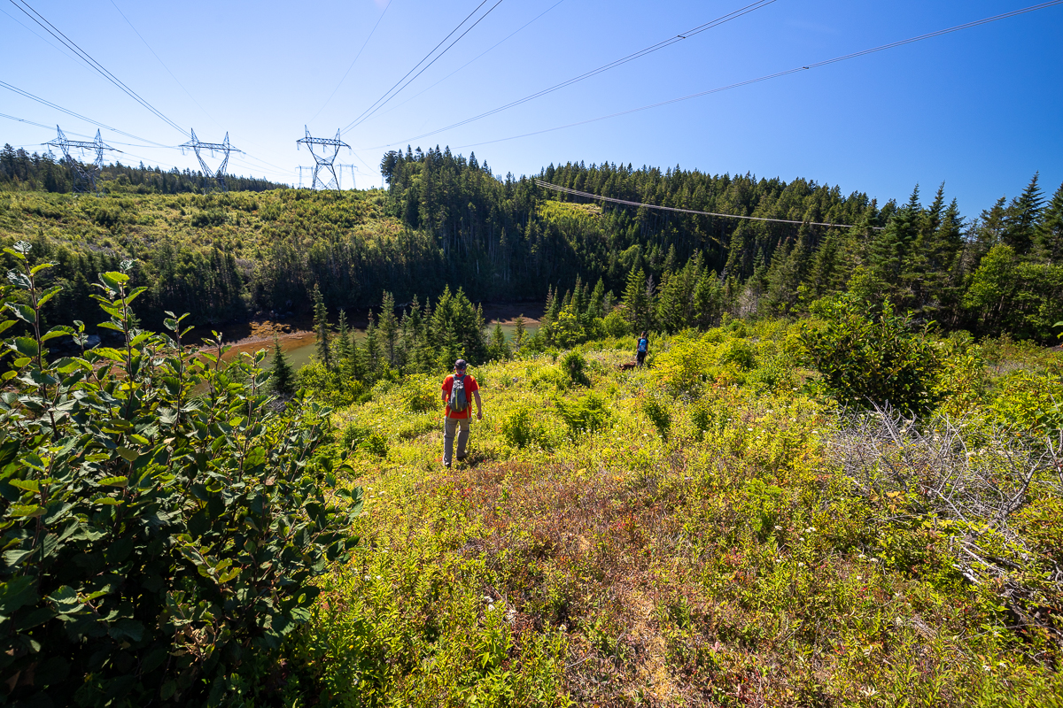
The Lorneville Link Trail is a trail that was developed to link the Black Beach Trail and the Five Fathom Hole trails. The trail goes inland to get around Frenchman's Creek, a tidal inlet on the Musquash Estuary. The trail passes under several wide powerlines coming from Coleson Cove. The openings of the powerlines provide unfettered views of the creek below. There is a small waterfall near the last powerline on the east side of the creek.
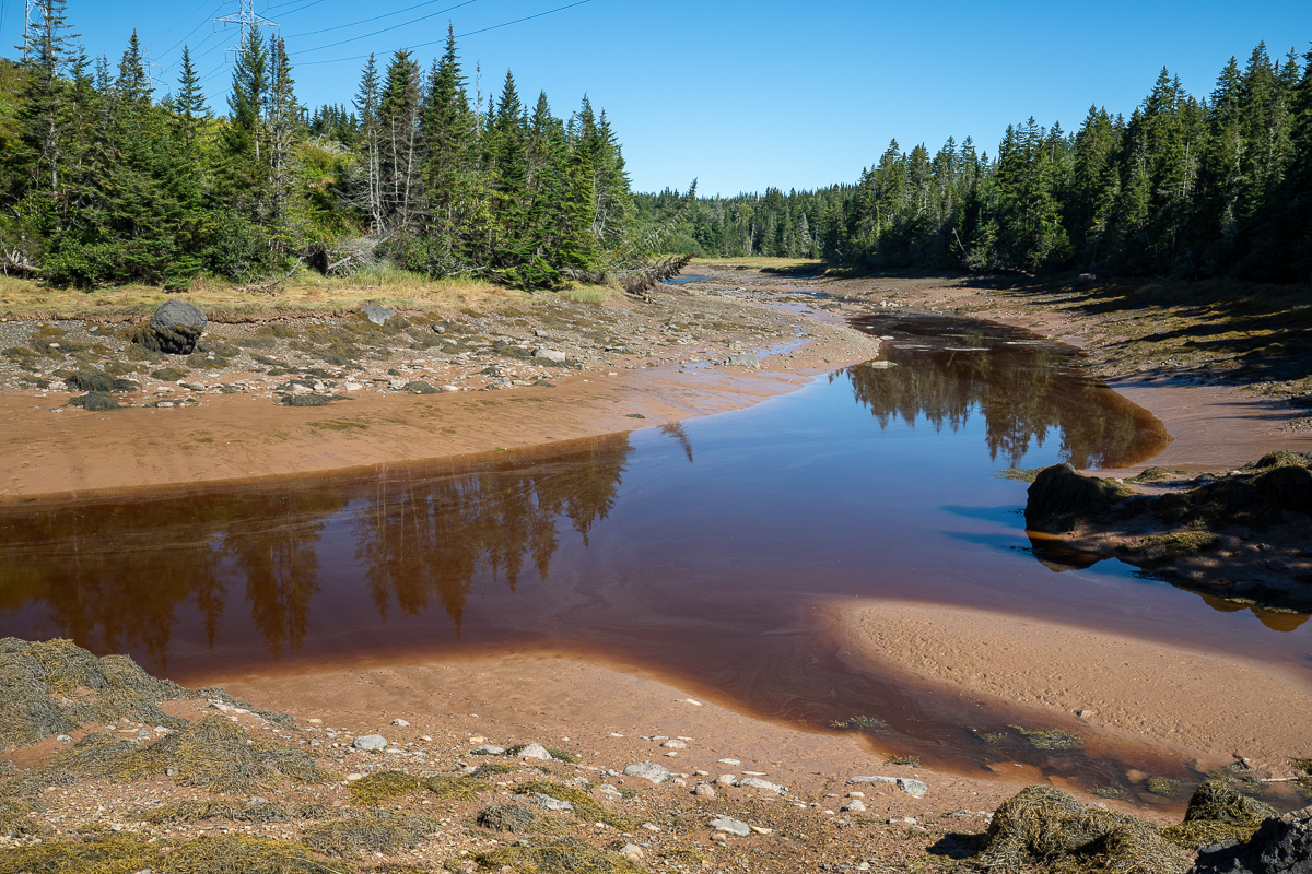
On the west side of the creek, near the head of the tidal zone, there is a tidal crossing on a smaller creek. There is a side trail that goes around this smaller creek at high tide. Near the mouth of Frenchmans Creek the trail comes out to a point in the Musquash Estuary. The trail then crosses Cheesemans Beach and follows along the rugged shoreline until it reaches another point where it meets up with the Five Fathom Hole.
Map

Directions
To access the Lorneville Link Trail you will need to hike to the end of the Five Fathom Hole Trail or the end of the loops on the Black Beach Trail.
Other Trails in the area
Trail Last Hiked: September 5, 2020.
Page Last Updated: May 18, 2021.