El Mosquito Side Trail
Gallery

Store
Quick Facts
| Difficulty | moderate |
| Trail Type | linear |
| Distance | 600 metres |
| Estimated Time | 15 mins |
| Surface Type | old road |
| Elevation Change | 39 metres |
| Features | stream |
| Trail Markers | signs |
| Scenery Rating | recreational |
| Maintenance Rating | poor |
| Cell Reception | low |
| Dog Friendly | yes |
| Fees | none |
Description
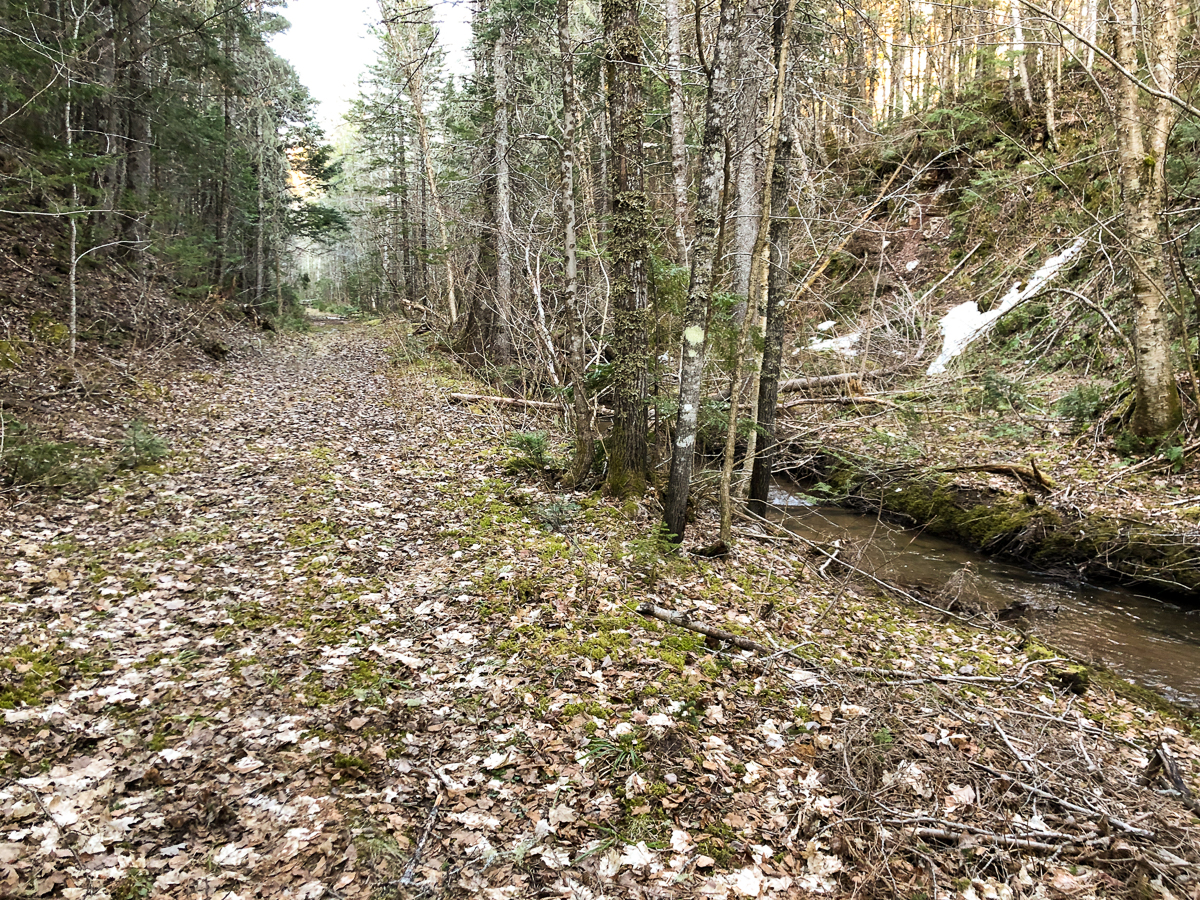
The El Mosquito Side Trail (a name I gave it) drops down the hill from the middle of the El Mosquito Trail. At the bottom of the hill the trail comes out onto an old road by a stream. Turning right will take you down to the stream. Once in the stream valley the road quickly becomes grown in. Turning left on the road will take you down through the stream valley. The old road is not an official trail and has lots of blowdown, so is a bit difficult to traverse.
Map


Directions
For directions to the park go to the White Rock Recreation page.
The El Mosquito Side Trail can be accessed from about mid-way on the El Mosquito Trail and from the Old Roads in the north end of the park.
Trail Last Hiked: April 23, 2022.
Page Last Updated: December 18, 2022.