Fall Brook Falls Trail
Videos
Quick Facts
| Difficulty | moderate |
| Trail Type | linear |
| Distance | 1.4 km one way |
| Estimated Time | 1 hour return |
| Surface Type | old road, forested |
| Elevation Change | 79 meters |
| Features | waterfall |
| Trail Markers | signs |
| Scenery Rating | must see |
| Maintenance Rating | well maintained |
| Cell Reception | none |
| Dog Friendly | yes |
| Fees | $10 gate fee |
Directions
A $10 access fee is required to access the trail by car. The access fee can now only be paid by digital payment (July 2024). The gatehouse is only open from 6AM to 8PM daily and you may not be let in after 7PM.
From the Irving Gas Station in Boiestown turn towards Fredericton and take the exit to Parker Ridge (Route 625) almost across the road from the Irving. After 4.2 km take a right onto the Bloomfield Ridge Road. After another 3.1 km the road turns to the right and crosses a bridge over the Miramichi River. At this point the road changes into the Holtville Road. After crossing the bridge continue another 2.9 km and you will come to a sharp turn to the right. Instead of taking the turn continue on a road that goes straight off the turn. After traveling 1.2 km this road will turn to gravel and after another 1.8 km and two sharp turns you will come to the gate house. At this point you have to go into the gate house, pay your $10 and sign a liability waiver.
Once through the gate follow the road for just over 13 km and you should see a small sign showing the road to the falls on the left. The bridge over Fall Brook is within site of the sign. If you cross the bridge (second from the gatehouse) you have gone too far.
The road down to the falls is rough and if you don't have a 4x4 you may want to park on the main road and walk the rest of the way (A little over 1 km to the trail head). There are several parking areas along the road as it gets progressively more steep and rough. Your vehicle and your comfort level will dictate how far you drive. I would suggest not going all the way down to the river. It's so steep that even a four wheel drive would have trouble climbing back out. On our last visit the hill was washed out.
On foot follow the road to the bottom of the hill where you will find a wide parking area near the river. There is access to the shore of the Miramichi River on the left. The trail to the falls is to the right.

Another way to access the trail is by canoeing the Miramichi river from Deersdale but this would take you a couple days so that's a whole different adventure and won't be described here.
Map
Podcast
Description
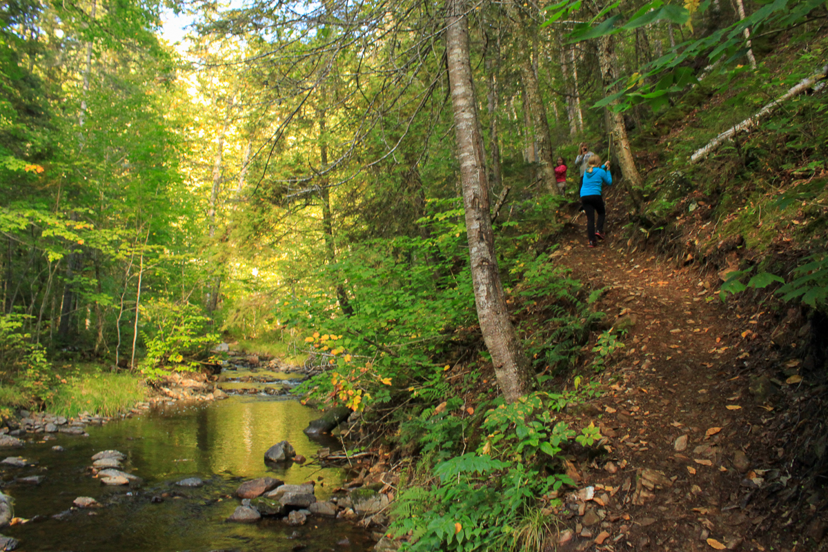
The trail follows Fall Brook stream into a ravine and through a mixedwood forest. Caution is required at one point where the narrow path climbs quite high above stream level with the help of rails and ropes. The trail then drops back down to stream level and continues to follow the stream to the falls. A small path to the side of the stream will give you your first view of the falls. The trail continues to just below the falls.
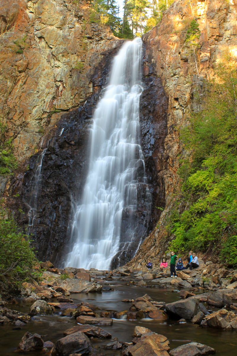
The waterfall is the highest continual running waterfall in New Brunswick at 30 m (100 ft). When at the falls you are surrounded by high cliffs on three sides making it feel like some type of cathedral. The falls is much more impressive than the small stream would suggest. The orange colored rock, and black color where the rock is wet under the falls, provides a beautiful color contrast against the green foliage.

The pool at the bottom makes a great place to take a swim on a hot summer day. Putting your feet up against the rocks at the bottom of the falls and floating on your back looking up is a magical experience. Make sure you don't spend much time standing around the edge of the pool. Once when I was there a girl got a leach on her foot. A small price to pay for such an amazing experience. Sitting on the shores of the Miramichi River on the way into or out of the falls will also soothe your soul. Hiking NB recommended.
It is a very extraordinary place and a must see! Well worth the $10 gate fee.

The trail is currently on Freehold land that was bought sometime in the early 2000's by J. D. Irving. The land was formerly owned by Bowater Company.
Other Trails nearby
Trail Last Hiked: March 19, 2017.
Page Last Updated: October 31, 2022.


