MacDougall Walking Trail
Gallery

Store

Quick Facts
| Difficulty | accessible |
| Trail Type | linear |
| Distance | 2.8 km |
| Estimated Time | 1 hour 30 mins |
| Surface Type | pavement |
| Elevation Change | 5 meters |
| Features | river, floodplain |
| Trail Markers | none but easy to follow |
| Scenery Rating | beautiful |
| Maintenance Rating | well maintained |
| Cell Reception | strong |
| Dog Friendly | yes |
| Fees | none |
Description
The MacDougall Trail is part of the old highway that used to travel along the river. The trail begins by traveling along the Saint John River overlooking Oromocto Island. There is a long field to the left of the trail. The trail then travels along an old river channel. The long, narrow Thatch Island is formed between the main river and this channel. Thatch Island is the reason this trail is also called the Old Thatch Road.
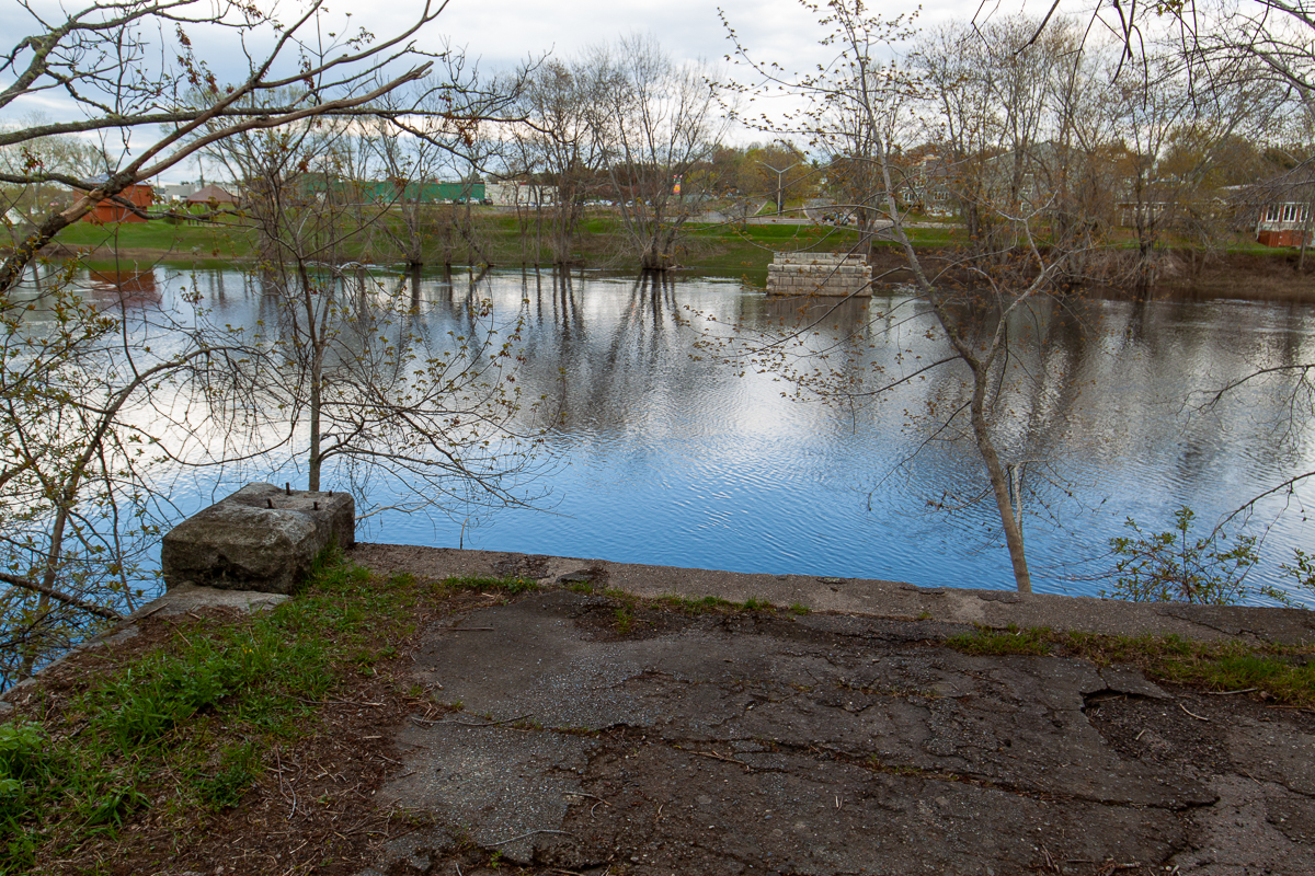
The trail travels through a beautiful floodplain hardwood forest and ends on an old bridge abutment. On the abutment you are looking across at the riverfront park in downtown Oromocto.
Map

Directions
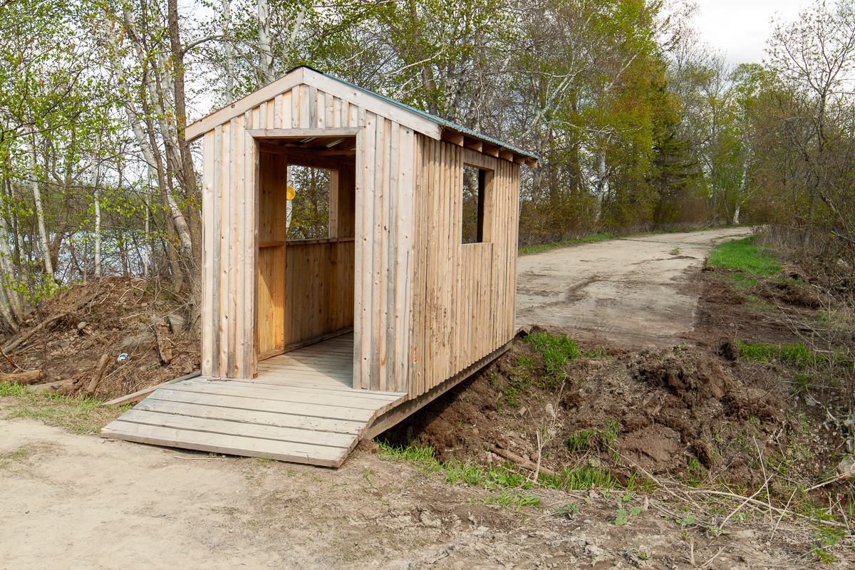
From the entrance to the airport turn towards Oromocto and drive for 2 kilometres. Here you will see the turnoff for Thatch Road going straight ahead. Drive for another 450 metres and you will come to the end of the road. Here there is a boat launch on the left and a parking area on the right. Park here. The trail starts by going through the small covered bridge off the end of the road.

Trail Last Hiked: May 17, 2018.
Page Last Updated: November 12, 2019.