Kings Landing Trails
Video
Quick Facts
| Difficulty | accessible |
| Trail Type | loops |
| Distance | 3.3 km |
| Estimated Time | 3 hours |
| Surface Type | gravel roads |
| Elevation Change | 66 metres |
| Features | historic village |
| Trail Markers | signs |
| Scenery Rating | Must-see |
| Maintenance Rating | well maintained |
| Cell Reception | strong |
| Dog Friendly | no |
| Fees | yes |
Store
Description
Kings Landing Historical Settlement is not your typical hiking destination but it is a fascinating place to take a walk. The best part about it is that if you get tired of walking you can catch one of the horse and wagons back to the visitor centre. The village is a historical representation of what life was like in the area back in the 1800's. There are many historical houses, churches and barns, some of which were moved here when the area was flooded by the installment of the Mactaquac dam in the 1960's.
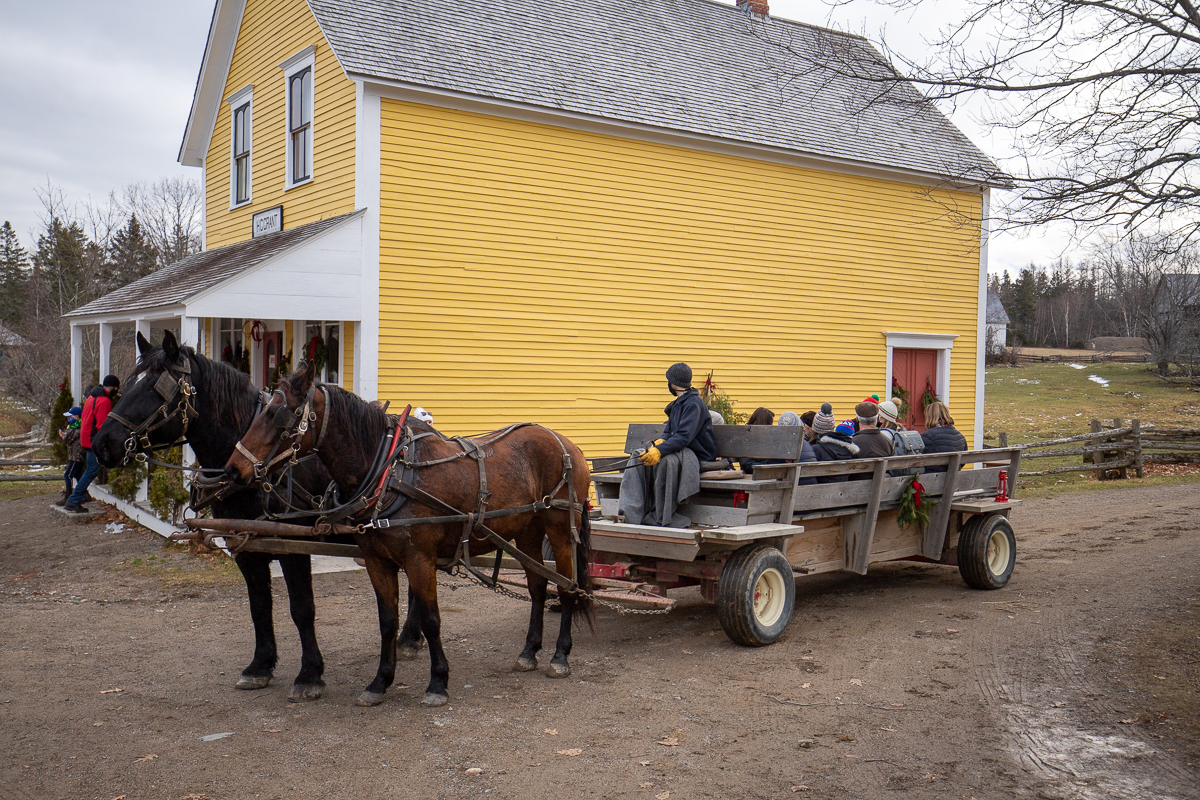
The gravel roads make many loops around the property accessing the many homes and farms. The fastest traffic using these roads is the horses and wagons. This makes it a relaxing place to take a walk in open fields overlooking the St. John River. This is a live history museum so you will see many people walking around the site in old fashioned clothing and going about their daily lives as they would have over 100 years ago. You will be transported back to a simpler time when walking was a more common form of transportation.
Map

Gallery

Directions
On Route 2 (four lane highway), between Fredericton and Woodstock, take exit 253 to Prince William. Turn towards the river (away from the gas station) on route 635. After a short distance you will come to a stop sign. Turn right at the stop sign and after another short distance you will see the large sign for Kings Landing on the left.
Park in one of the parking lots and access the site through the visitors' centre.

Other Trails in the area
External Links
Trail Last Hiked: December 12, 2020.
Page Last Updated: October 23, 2021.