Ballfield to Bar Road Trail
Gallery
Store

Quick Facts
| Difficulty | easy |
| Trail Type | linear |
| Distance | 700 meters |
| Estimated Time | 15 mins one way |
| Surface Type | gravel |
| Elevation Change | 16 meters |
| Features | forest |
| Trail Markers | yellow squares |
| Scenery Rating | recreational |
| Maintenance Rating | variable |
| Cell Reception | strong |
| Dog Friendly | on a leash |
| Fees | none |
Directions
When entering Saint Andrews you will come to an intersection next to the Arena Complex. At the stop sign turn left. Continue on Harriet Street until you come to a T at Champlain Avenue. At Champlain Avenue turn left and soon after that turn right onto cemetary road. Continue on Cemetery Road passing an intersection with Cove Road. Soon after that you will come to the Ballfield on the left. Drive to the ballfield parking area in the back. You should see the trail entering the woods along the back of the lot.

The other end of the trail can be found on the right on Bar Road at 350 meters from Route 127.
Map

Description
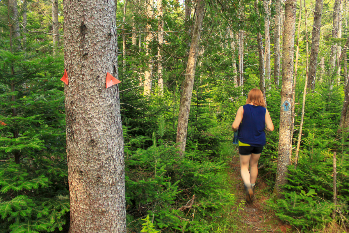
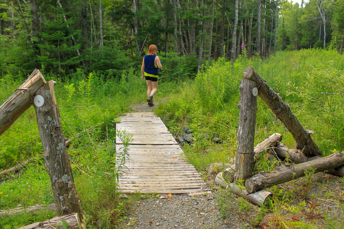
The main Ballfield to Bar Road Trail is a wide crushed rock trail that looks like it used to be a road. The trail travels through a softwood forest. When we were there last the trail was washed out in sections but they were easily passable. There are small boardwalks over wet areas.
On the north side of the main trail there are smaller trails that loop through the surrounding forest. These trails cut through the moss. These trails aren't as well maintained and in some places are a bit hard to follow.
Trail Last Hiked: July 26, 2014.
Page Last Updated: February 21, 2019.