Tantramar High School Wetland Trail
Gallery

Store
Quick Facts
| Difficulty | easy |
| Trail Type | loop |
| Distance | 1.2 km |
| Estimated Time | 30 mins |
| Surface Type | crushed rock |
| Elevation Change | 15 meters |
| Features | pond |
| Trail Markers | signs |
| Scenery Rating | beautiful |
| Maintenance Rating | variable |
| Cell Reception | strong |
| Dog Friendly | on a leash |
| Fees | none |
Description
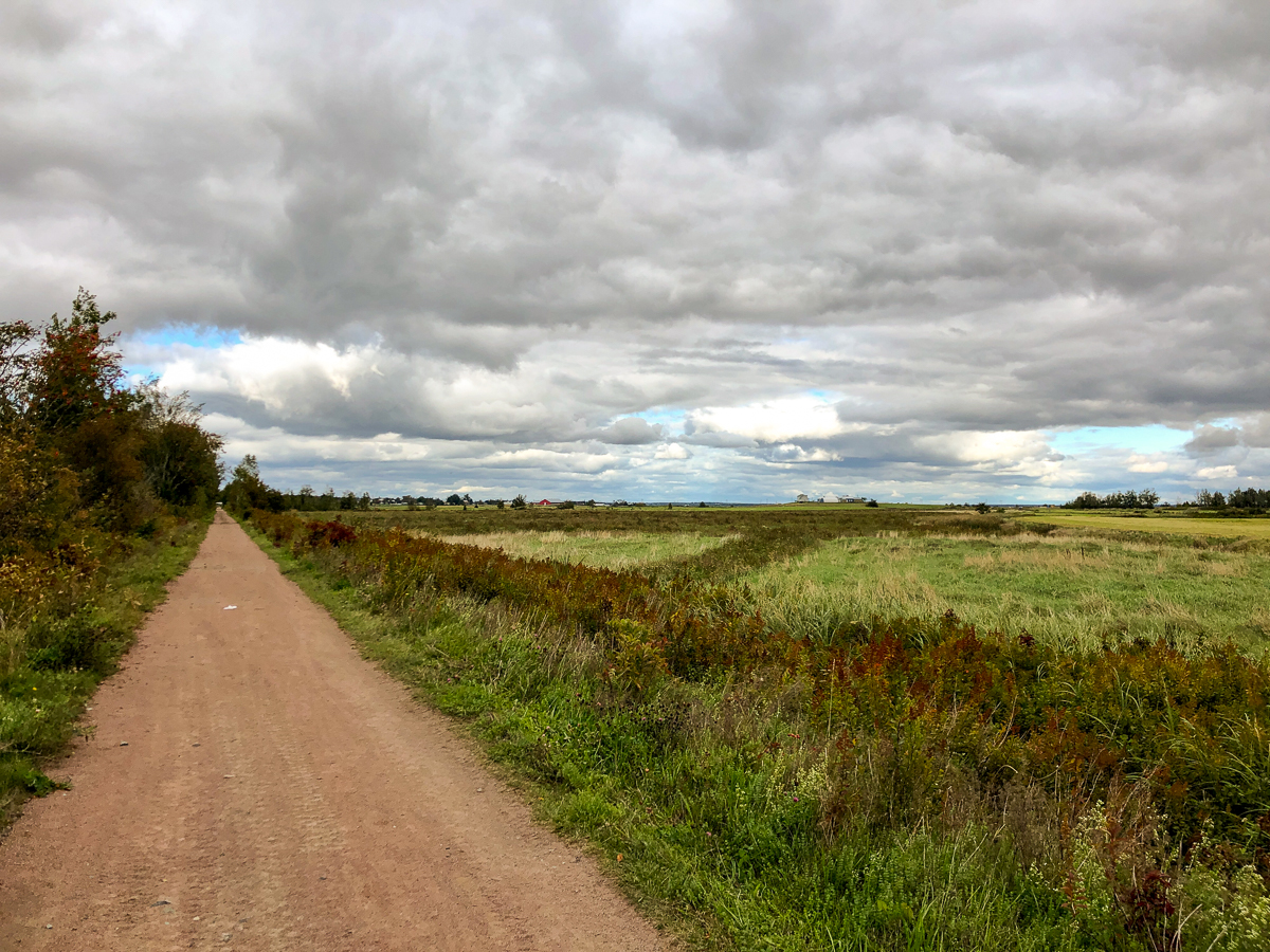
The trail starts by going along the field near the highway exit ramp. The trail passes by a patch of trees and soon comes to a grown in shelter by the ponds edge on the left. Continue on the trail and you will come to an old railbed trail (NB Trail) that goes all the way to Port Elgin. Turn left (away from the highway) on the NB Trail. The NB Trail travels between the pond and some fields.
There are several lookout platforms along this side of the pond. The last one is in the best shape and has a shelter. The trail to the right of this shelter is where the Wetland Trail leaves the NB Trail.
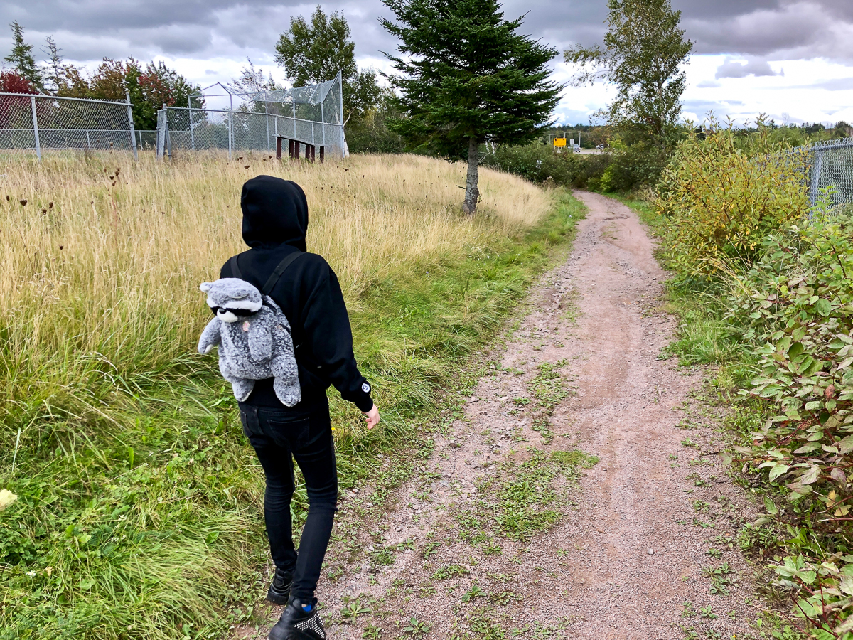
The trail travels along a berm through a row of gray birch. Many of the trails at the Sackville Waterfowl Park across the highway are also lined with these young birch.
The trail crosses a crooked bridge and then passes by a floating dock on the left. The trail then enters a strip of trees and soon comes to a raised lookout platform. From the lookout platform you can climb up to the corner of the soccer field. The trail also continues past the raised platform and goes along the back of the soccer field, emerging near the back corner of the school.
Map

Directions
Take exit 504 on Route 2 to Sackville. Instead of turning towards downtown Sackville, turn to go to the other side of the highway. Just past the highway ramps turn right into Tantramar High School. Drive to the bottom right of the parking lot and park. The trail starts along the field on the right.
The other end of the trail can be accessed from either corner at the far end of the soccer field to the left.

Trail Last Hiked: October 2, 2021.
Page Last Updated: December 11, 2021.