Haut-du-Ruisseau Nature Park Trails
Gallery

Store
Quick Facts
| Difficulty | easy-moderate |
| Trail Type | loops |
| Distance | 2.8 km |
| Estimated Time | 1 hour |
| Surface Type | crushed rock, forested |
| Elevation Change | 38 meters |
| Features | stream, forest |
| Trail Markers | Colored Shapes |
| Scenery Rating | beautiful |
| Maintenance Rating | well maintained |
| Cell Reception | medium |
| Dog Friendly | yes |
| Fees | none |
Description
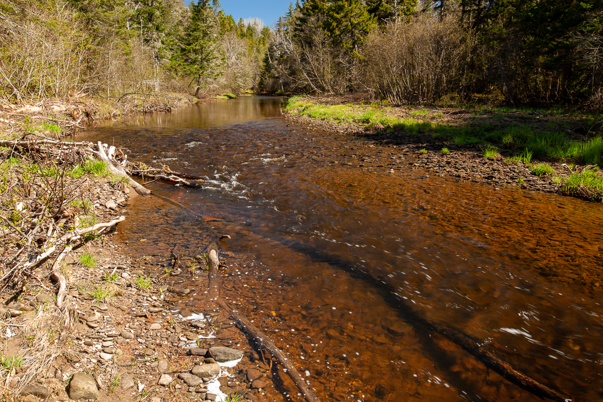
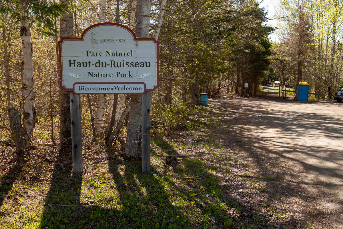
Haut-du-Ruisseau Nature Park near Memramcook has many short trails to explore. The trails start as wide crushed rock trails but then get narrower and travel through the forest. The trails cross several small streams and bridges before coming to the powerlines. Near the end of the trails there is a small hut with fiberglass walls and benches inside. There is also a large teepee nearby made with orange tarps. The hut is on a hill and is a great place to sit and enjoy the views of the surrounding forest. If you take the red trail down the hill in front of the hut you will come to a stream. The trail follows the stream for a bit and then climbs back up the hill to the hut.
Another trail takes you across the top of the ridge near the hut to a neighbouring field. There are several other trails that access the stream. One of them near the parking area accesses a field with a shelter. I ran out of time on my last visit so didn't get a chance to visit this part of the park.
Map

Directions
Start in the Village of Memramcook and cross the Memramcook river on St. Thomas Street. When you come to a stop sign turn right onto Royal Road. After 1.4 km turn left onto Breau Creek Road. There is a large sign pointing you towards the park. After 2 km you will see the entrance to the park on your right.

Explore trails nearby:
Trail Last Hiked: May 21, 2018.
Page Last Updated: September 17, 2019.