Purple Trail
Meduxnekeag Valley Nature PreserveGallery

Store

Quick Facts
| Difficulty | moderate |
| Trail Type | loop |
| Distance | 1.7 km |
| Estimated Time | 45 mins |
| Surface Type | forested |
| Elevation Change | 27 meters |
| Features | waterfall, rocky outcrops |
| Trail Markers | purple posts |
| Scenery Rating | beautiful |
| Maintenance Rating | variable |
| Cell Reception | variable |
| Dog Friendly | on a leash |
| Fees | donations accepted |
Directions
From Route 2 in Woodstock take exit 185 to Connell Street. Head west on Connell Street (Route 550) for 3.5 km and turn left on to Red Bridge Road. Drive for another 3.5 kilometres and you will find the trail entering the woods on the left. The trail is just past a small farm on the right and just before you come to fields on both sides of the road.

The Purple Trail can also be accessed at the end of the long loop of the Black Trail.
Map

Description
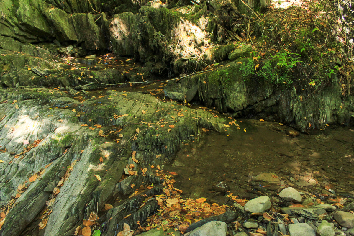
The Purple Trail travels along the back of fields and loops down towards the river. The trail travels through several forest types from fir to hemlock to hardwood. It dips down through several stream valleys. The streams are the most interesting part of this trail. The streambeds are made up of vertical plated rocks. One of them has Vandine Falls that flows over some of these plated rocks.
Other Trails in the Park
External Links
Trail Last Hiked: September 27, 2012.
Page Last Updated: June 1, 2020.