Buttermilk Falls Trail
Gallery

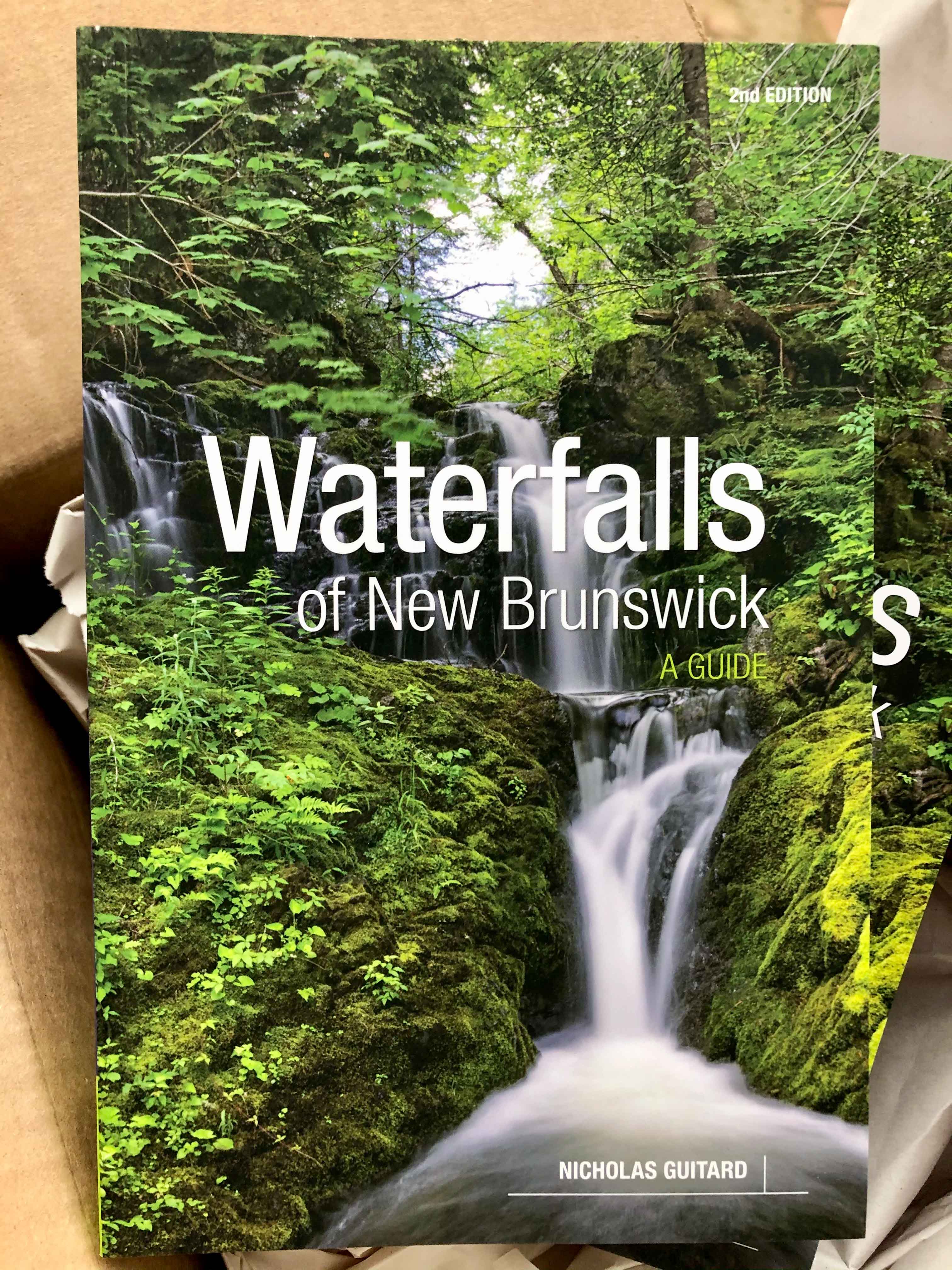
Store
Quick Facts
| Difficulty | moderate |
| Trail Type | linear |
| Distance | 1.5 km one way |
| Estimated Time | 1 hr return |
| Surface Type | old road, forested |
| Elevation Change | 52 metres |
| Features | waterfall |
| Trail Markers | signs |
| Scenery Rating | recreational |
| Maintenance Rating | variable |
| Cell Reception | medium |
| Dog Friendly | yes |
| Fees | none |
Description
Depending on how far you took your vehicle, this hike starts with a walk on an old forestry road. The road goes through a mostly young forest of old cuts that are grown back to different levels. Just after a wide parking area on the left, you will see a sign for Buttermilk Falls on the left. The trail drops down into the woods next to the sign.

The trail is a short walk (150 metres) through a mostly hardwood forest. When you can see the Nashwaak River below, the trail goes to a clearing straight and to the right. In the clearing is a couple of benches and a fire pit. Just beyond the clearing is the stream the flows down over the hill and into the Nashwaak River Valley below. From the clearing you can hear the waterfall but can't see it.
Near the clearing there is another more pronounced trail that turns to the left and starts to follow the river. I didn't see the clearing on my first pass and ended up walking the majority of this trail before realizing it wasn't the trail to the falls. The more pronounced trail is a motorbike trail that loops around to another access road. It makes a great walk through a beautiful hardwood and hemlock forest, but it does not take you to the falls.
Note: To see the waterfall you need to walk in (directions coming soon) from the old rail bed that crosses Route 107 near Cross Creek Road.
Map

Directions
Find your way to the Village of Stanley, to the north of Fredericton, and then to the Red Rock Road. If you are coming into Stanley on Route 620 from Tay Creek, you will come to a stop sign at the top of the hill on English Settlement Road. At this stop sign, instead of turning left to go down the hill into Stanley, turn right. Shortly after turn left on Red Rock Road.
If you are coming into Stanley on Route 107 from Nashwaak Bridge, you will come to a stop sign at a five direction intersection. At the intersection turn left onto Bridge Street and drive through the village. Climb the steep hill on the other side of the valley and at the top you will find the Red Rock Road on the left.

The Red Rock Road turns to gravel after 1.5 kilometres. Continue for another 1.5 kilometres on the gravel and you will find an old road on the left. You should also see a sign for Buttermilk Falls. Take this side road and continue on it as far as you are comfortable driving in your vehicle. I parked just before a steep hill down through a stream valley. Park and make sure you don't block the road.

Trail Last Hiked: August 23, 2021.
Page Last Updated: December 25, 2021.