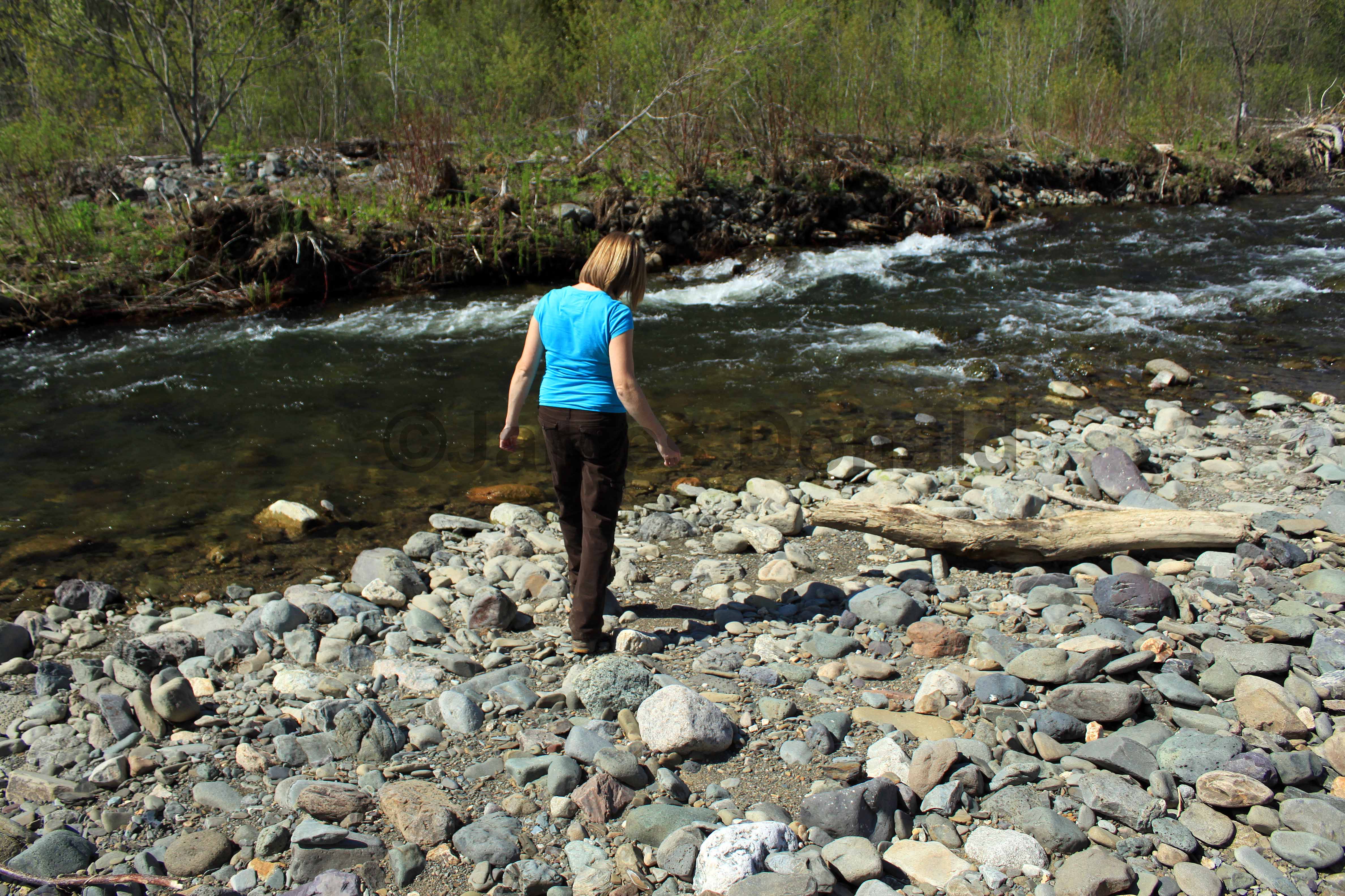
Shiktehawk Stream Trail
Quick Facts
| Difficulty | moderate |
| Trail Type | linear |
| Distance | 2.2 km one-way |
| Estimated Time | 1 hr 30 mins return |
| Surface Type | forested |
| Elevation Change | 53 meters |
| Features | stream |
| Trail Markers | none but easy to follow |
| Scenery Rating | beautiful |
| Maintenance Rating | variable |
| Cell Reception | not checked |
| Dog Friendly | yes |
| Fees | none |
Map
Directions
From Highway 2 take exit 153 and turn east on Route 110 (Centerville Road) towards the Town of Florenceville-Bristol. Follow this road for approximately 4.3 km until you come to a stop sign on route 130. Take a right at this stop sign and go for another 2.1 km taking the exit just after crossing the bridge, then turn right on Route 105 (Main Street). Follow Main Street for another 4.9 km through the town of Florenceville-Bristol. Just 700 meters past the turnoff to Juniper (Route 107) there is a small gravel parking lot on the right with a shelter and picnic table. The trail entrance is just behind the shelter on the left.
Trail Last Hiked: May 22, 2011.
Page Last Updated: April 13, 2013.


