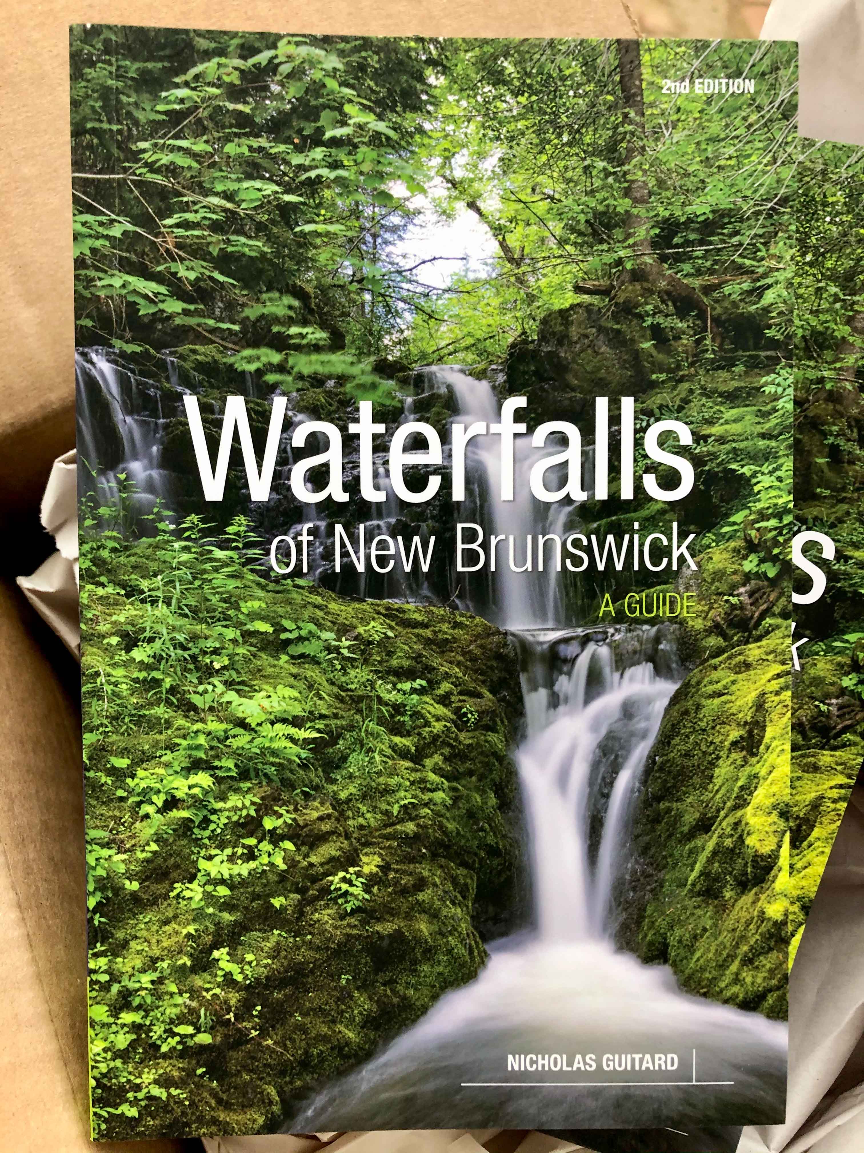
Scribner Brook Falls Trail
Store
Map
Quick Facts
| Difficulty | easy |
| Trail Type | linear |
| Distance | 800 metres mapped |
| Estimated Time | 15 minutes |
| Surface Type | forested |
| Elevation Change | 16 metres |
| Features | waterfall |
| Trail Markers | none but easy to follow |
| Scenery Rating | beautiful |
| Maintenance Rating | well maintained |
| Cell Reception | medium |
| Dog Friendly | yes |
| Fees | none |

Video

Trail Last Hiked: August 16, 2014.
Page Last Updated: August 17, 2014.