Turtle Mountain Trail
Gallery

Quick Facts
| Difficulty | moderate |
| Trail Type | linear |
| Distance | 11.3 km one way |
| Estimated Time | 7 hours return |
| Surface Type | old road, rock |
| Elevation Change | 212 meters |
| Features | granite dome, views |
| Trail Markers | white duct tape |
| Scenery Rating | beautiful |
| Maintenance Rating | well maintained |
| Cell Reception | variable |
| Dog Friendly | yes |
| Fees | none |
Video
Directions
Updated June 26, 2021 - With the increase in traffic on this trail there have been issues with too many cars parking around the at the start of the trail. The campowners also have difficulty managing the gate on the road. If you are planning to hike this trail please park on the highway and walk in from there.
On Route 7 park on the south side of the highway (right side when traveling from Fredericton to Saint John) at km marker 77 between exits 71 and 80 to Grand Bay-Westfield. Walk back along the guardrail for 170 meters then enter the woods to to the left on the ATV Trail. The ATV trail meets a road and you will be able to see a white gate straight ahead.
From the White Gate
The white gate is open when there are people accessing their camps but may be closed otherwise. Continue past the gate and the road will pass under some powerlines and travel past several camps. The road is fairly good to the cluster of camps but gets progressively more rough after that point.
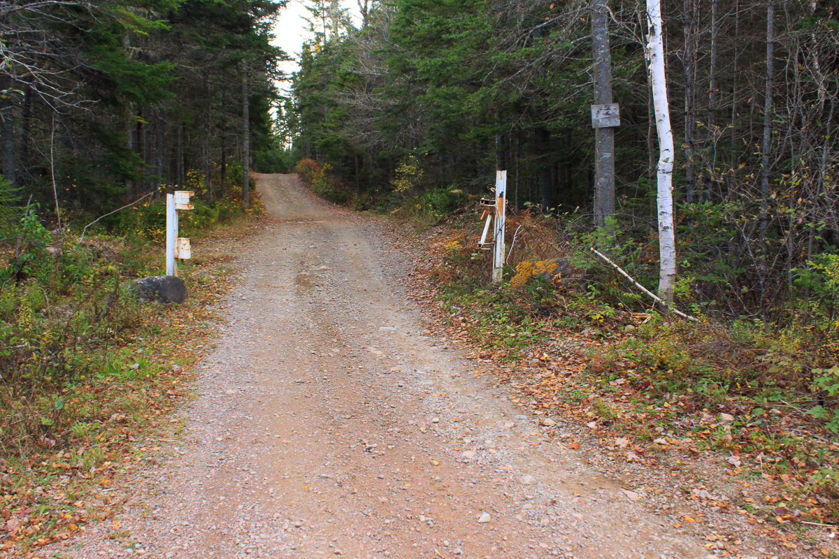
Continue on the road until you come to the small ATV bridge that spans the stream between Robin Hood Lake and Little John Lake. The trail continues and is marked at every kilometer by white Duct Tape wrapped around trees with the kilometers to the peak marked on it.
Map
Store

Description
The Turtle Mountain Trail starts as an old road that passes by several camps. The road soon comes to an ATV Bridge that crosses the stream between Robin Hood Lake and Little John Lake. The bridge has been destroyed and rebuilt since my last visit so may look different than in my pictures.

After the bridge you will be entering the Loch Alva Protected Area. The trail turns into an ATV trail. The trail is a steady climb for about 3 kilometres until it comes out onto a wide, open granite dome. At this point there are trails going in different directions. Keep right. Trails to the left will take you to Mount Mawhane. I have seen many people get sidetracked and end up on Mount Mawhane. If this happens you won't have time to backtrack and get to Turtle Mountain unless you plan to stay the night.
Note: There are other side trails along the way but none are used enough to confuse with the main trail.
The trails gets progressively rougher. The trail climbs up along the edge of Turtle Mountain and crosses a hardwood ridge. The trail then takes a sharp right and climbs a steep slab of granite. At the top of the slope there is an opening with amazing views to the east towards Saint John. If you look closely you will probably see the smoke from the pulp mill.

I almost turned here thinking this was the peak but if you continue around a patch of trees you will come to a much larger, wide granite peak. From here the views are spectacular of the many lakes and surrounding forest. The most prominent is Turtle Lake at the bottom of the mountain.


Other Trails in Grand Bay-Westfield
- Centennial Trail (coming soon)
- Blueberry Hill Nature Preserve
Trail Last Hiked: October 20, 2014.
Page Last Updated: April 10, 2020.