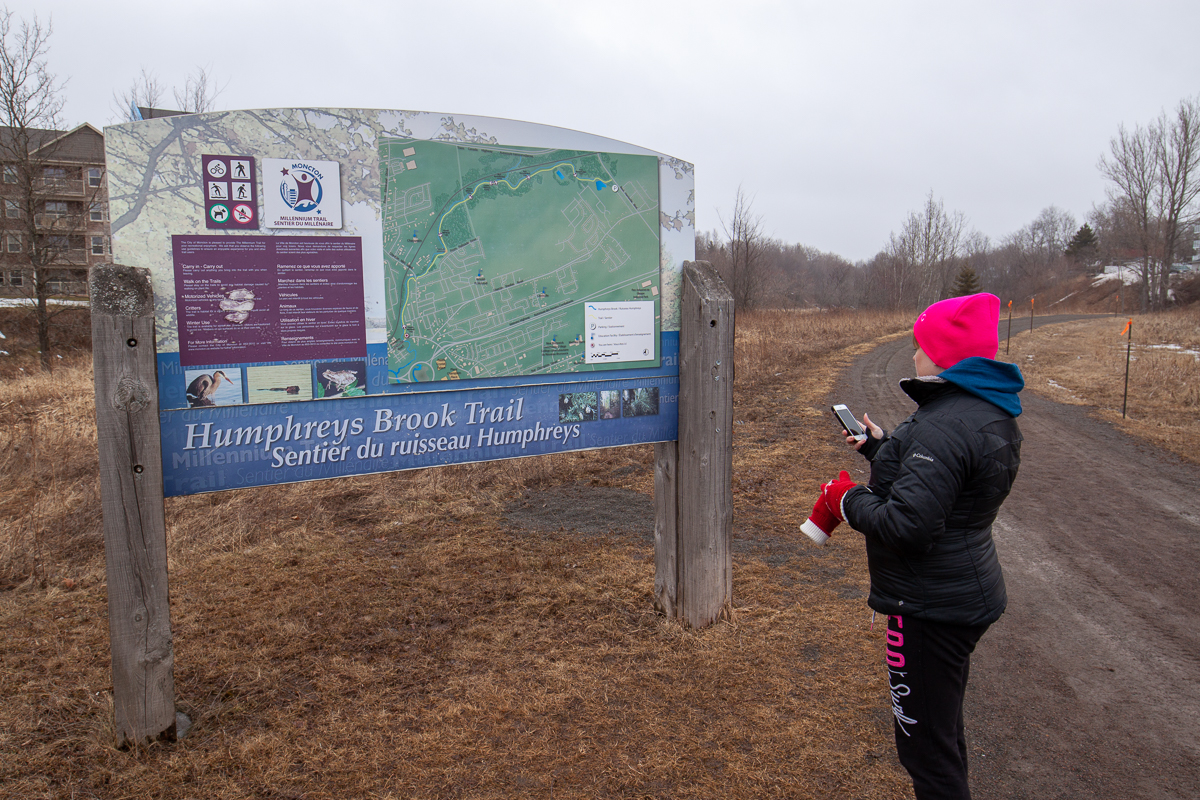
Humphreys Brook Trail
Gallery
Store

Quick Facts
| Difficulty | accessible |
| Trail Type | linear |
| Distance | 6.9 km one way |
| Estimated Time | 2 hr 30 mins |
| Surface Type | crushed rock |
| Elevation Change | 12 meters |
| Features | stream |
| Trail Markers | none but easy to follow |
| Scenery Rating | recreational |
| Maintenance Rating | well maintained |
| Cell Reception | strong |
| Dog Friendly | on a leash |
| Fees | none |
Directions
Drive by the Champlain Place Mall on Paul Street and continue under the highway. After 600 metres you will see the start of the trail on the right. The best way to access this end of the trail is to turn on Pleasant Street from Lewisville Road and park along the Lewisville Creek Park on Pleasant Street, then walk 200 m on the sidewalk to the trail head.
To access the trail from the other end get on the highway near Champlain Place and turn towards the airport. Continue until the next exit and then turn left on Harrisville Boulevard. After 1.9 kilometres you will see a wide area along the road for parking. The trail enters the woods on the left.
There is also a branch of this trail that starts on Shediac Road. From Harrisville Road turn left onto Shediac Road. After 600 metres you will see the trail on the right just past Gagnon Drive.
Map


Description
The Humphrey Brook Trail is a great place to take a walk. The beautiful little stream adds interest as you walk along the trail. The trail goes through woods and along the backs of subdivisions.
Trail Last Hiked: March 4, 2018.
Page Last Updated: April 7, 2019.