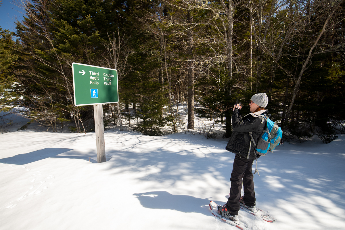
Third Vault Falls Trail
Gallery

Store
Quick Facts
| Difficulty | difficult |
| Trail Type | linear |
| Distance | 3.7 km one way |
| Estimated Time | 3 hrs 30 mins return |
| Surface Type | crushed rock, forested |
| Elevation Change | 199 metres |
| Features | waterfall |
| Trail Markers | blue squares |
| Scenery Rating | beautiful |
| Maintenance Rating | well maintained |
| Cell Reception | variable |
| Dog Friendly | on a leash |
| Fees | yes |
Description
The Third Vault Falls Trail is a mostly flat trail except the last 200 metres. The trail travels through a mixed forest with some interesting large hardwoods next to the trail. At about mid-way the trail starts to gently descend. Once you get to the stream valley (first set of stairs) it drops steeply down to the stream using several staircases and switchbacks. Once down to the stream the trail follows the streambed, so rock hopping is required. There are trail markers painted on the rocks in the stream to confirm you are going the right way.

You will hear the falls before you see them. You will first come around a rocky cliff on the left and come to a stream entering the valley. Continue around the corner and start up this second stream. You will soon come face to face with the largest waterfall in the park. If the stream is too deep, or full of snow and ice, you can climb up over the cliff on the left to access the falls but it's difficult.
Third Vault Falls is an impressive 16 metres (48 feet) high and splits over the rocks in a recognizable way. The high cliffs around the falls of this side stream make it a small but interesting place to explore. Our visits have been in winter and spring so we haven't yet tried swimming. We plan to try it on our next visit.

Obligatory warning - if you plan to visit in winter it can be very icy and treacherous down in the stream valley. The trail gets a lot of traffic so the trail itself is usually packed and can be icy. Don't wear snowshoes on ice covered stairs or steep slopes. Use the appropriate level of cleats or crampons for the conditions. If you are not sure about the conditions then come back when conditions are better. You don't want to fall down any of the steep slopes, or get caught down in the valley and not be able to climb back out safely.
Map

Directions
For directions to the park go to the Fundy National Park page.
The Third Vault Falls Trail is on Laverty Road. To get to Laverty Road, start at the visitor centre near Alma and climb the hill on route 114. After 7.4 kilometres you will see Laverty Road on the right. Turn into the road. If it is during the summer season continue on Laverty Road for 1 kilometre and you will find a small parking area by the Third Vault Falls trailhead.
If it is winter or early spring the gate may be closed on Laverty Road. If the gate is closed you can park in the parking area at the start of the road. This will add another kilometre to your hike each way.
From the Sign
Third Vault Falls
Hike through a mixed forest of spruce, birch and maple. This trail will lead you into the valley of the Upper Vault Brook and to the Third Vault Falls. At 16 metres, this is the highest waterfall in the Park. The waterfall has carved out a natural amphitheatre at its base which makes for a great place to have a picnic. You may even want to take a dip in the invigorating pool.
First section - moderate - you may encounter a few wet areas after a heavy rain.
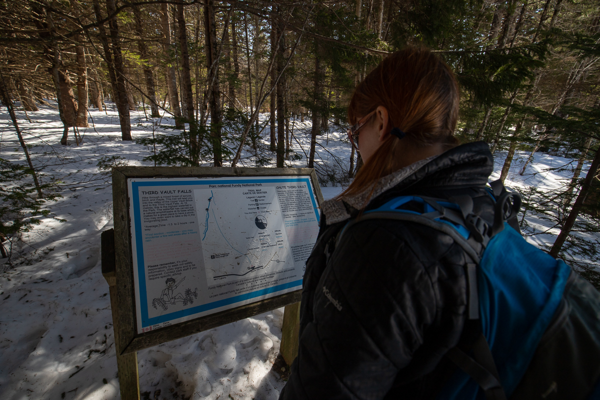
Second section - difficult - descends steeply at times on wooden stairs once you reach the small stream continue to where it spills into the Upper Vault Brook. Follow the Upper Vault Brook upstream to see the falls.
Other Trails in the Park
- Bennett Brook Trail
- Black Hole Trail
- Black Horse Trail
- Caribou Plain Trail
- Coastal Trail
- Coppermine Trail
- Dobson Link
- Dickson Falls Trail
- East Branch Trail
- Foster Brook Trail
- Goose River Trail
- Herring Cove Beach
- Kinnie Brook Trail
- Laverty Falls Trail
- Marven Lake Trail
- Matthews Head Trail
- Maple Grove Trail
- Moosehorn Trail
- Point Wolfe Beach Trail
- Shiphaven Trail
- The Forks Trail
- Tippen Lot Trail
- Tracey Lake Trail
- Upper Salmon River Trail
- Whitetail Trail
Trail Last Hiked: March 20, 2021.
Page Last Updated: January 3, 2023.