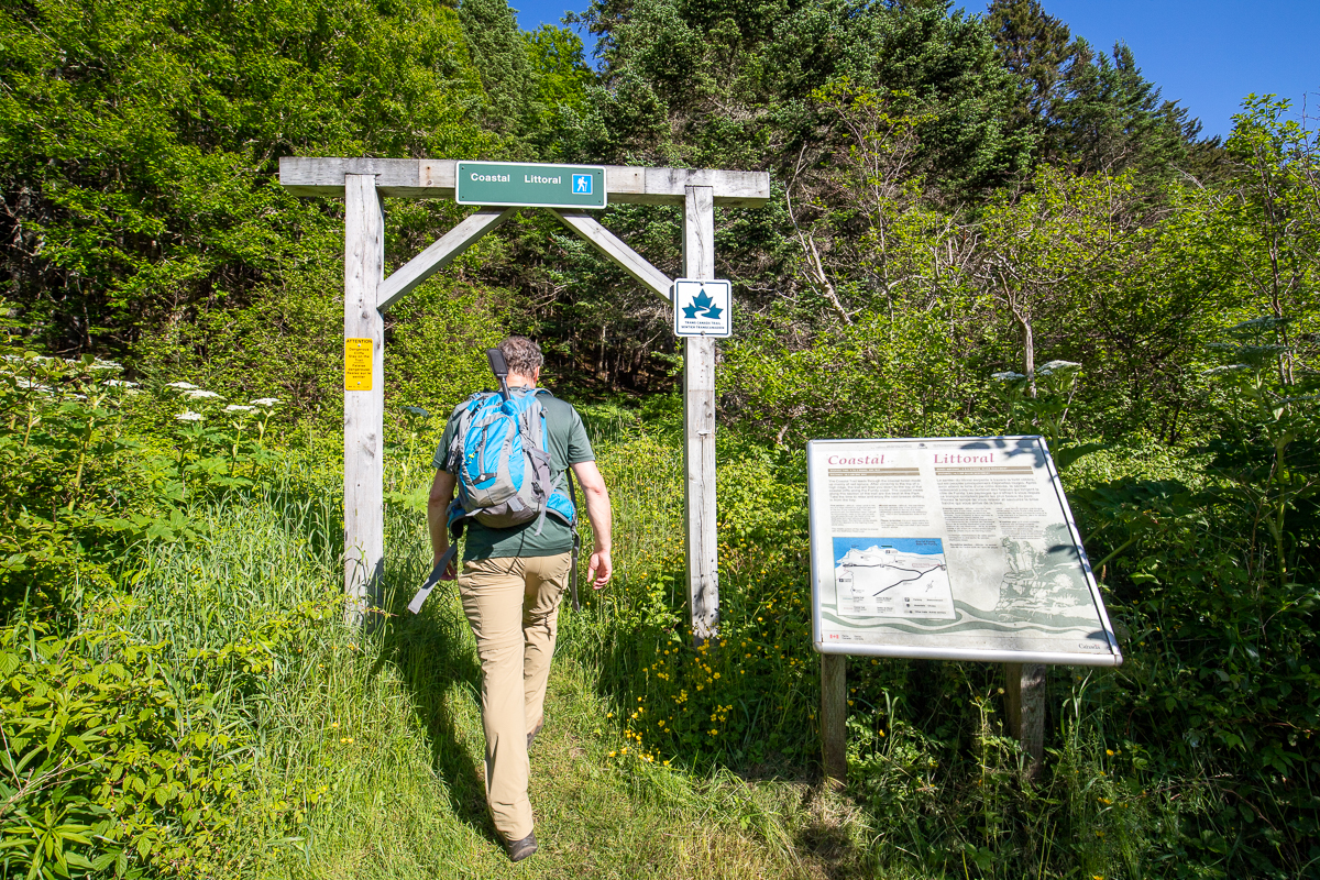
Coastal Trail
Gallery

Store

Quick Facts
| Difficulty | strenuous |
| Trail Type | linear |
| Distance | 10.1 km one way |
| Estimated Time | 4 hrs |
| Surface Type | forested |
| Elevation Change | 149 metres |
| Features | coast, rock outcrops |
| Trail Markers | red squares |
| Scenery Rating | beautiful |
| Maintenance Rating | well maintained |
| Cell Reception | variable |
| Dog Friendly | on a leash |
| Fees | yes |
Description
From the pool road the trail starts by climbing up through a beautiful spruce stand onto a ridge. At the top of the ridge you will find a long rocky outcrop. The outcrop is covered in piles of the flat rock. The trail travels along the top of this ridge for a while before descending down towards the bay to the left. On the next section you can see the bay through the trees. Soon you will pass the Tippen Lot Trail on the right. After passing the Tippen Lot Trail the trail descends to the parking lot at Herring Cove. Make sure you check out the lookout platform and Herring Cove Beach before continuing on the trail.

Continue on the trail by the outhouses and you will drop down into a small stream valley and pass a small waterfall. The trail then goes out to a point where there used to be a homestead. You can still see sections of moss covered rock walls and other cement remnants. The trail then climbs up a ridge before winding its way down to the exposed point at Matthews Head.
The trail then climbs another hill and comes to the junction with the Matthews Head Trail. Continue to the left. This next section overlaps part of the loop that makes up the Matthews Head Trail. The trail passes by several lookouts. The most prominent lookout is looking west at Squaw Cap, a small island just offshore that is topped with trees.

The trail then heads inland and passes by the other side of the Matthews Head Trail. Continue straight on the Coastal Trail. This section of trail travels through beautiful coastal red spruce stands and past some large yellow birch. The trail will eventually descend quite steeply into the Wolfe River valley, zigzagging all the way down the hill.
Map

Directions
For directions to the park go to the Fundy National Park page.
There are three access point to the Coastal Trail. From the Headquarters visitor centre turn onto Point Wolfe Road. After a short distance you will drop down over a hill and pass the turn off to the salt water pool on the left. There is parking for the Coastal Trail on the left, just past the road to the pool. Park here and on foot return to the road to the pool. Cross the stone bridge and you will find the trailhead on the right.

The second access point is at Herring Cove. Continue on the Point Wolfe Road for another 5.5 kilometres and turn left onto Herring Cove Road. Drive to the end of the road (3.2 kilometres) and park in the parking lot. You will see the trail head for the east section of the trail at the end of the parking lot on the left. The trail head for the west section of the trail is near outhouses on the right.
You can access the western-most trailhead by continuing on Point Wolfe Road, past the Herring Cove Road turnoff. After one kilometre you will come out into the Wolfe River valley and see a parking area on the right. Park here and you will see the trail head directly across the road.

From the Sign
Coastal Trail
The Coastal Trail leads through a beautiful mixed forest of spruce, birch and maple to the picnic area at Herring Cove. From this point, you can follow the second section of the trail to Point Wolfe. You will be treated to a ridgetop view of the Bay of Fundy. Coastal breezes will refresh you along the way.
First section - difficult - trail climbs steadily to the top of a ridge - gradual uphill along to top of the ridge followed by a steady descent - junction with the Tippen Lot Trail just before arriving at Herring Cove - keep to the left at this junction.
Second section - difficult - begins on the opposite side of the picnic area at Herring Cove - steep climb, then descent to Matthews Head - steep climb then descent to Point Wolfe.
Please remember, it's your responsibility to seek out safety information, obey signs and be prepared. Contact park staff if you require specific advice.
From the Sign
Changing Times for Fishermen
Although the herring fishery gave this cove its name, shad was the most sought-after fish until about 1880. Industrial pollution, mostly from sawmills, and the damming of spawning rivers destroyed the fishery. In recent years, declining Atlantic salmon stocks have sparked a major fish-farming industry farther westward on the Bay of Fundy. Canadians, by working together, can protect the ocean ecosystem and ensure the survival of the fishermen's livelihood.

Other Trails in the Park
- Bennett Brook Trail
- Black Hole Trail
- Black Horse Trail
- Caribou Plain Trail
- Coppermine Trail
- Dobson Link
- Dickson Falls Trail
- East Branch Trail
- Foster Brook Trail
- Goose River Trail
- Herring Cove Beach
- Kinnie Brook Trail
- Laverty Falls Trail
- Marven Lake Trail
- Matthews Head Trail
- Maple Grove Trail
- Moosehorn Trail
- Point Wolfe Beach Trail
- Shiphaven Trail
- The Forks Trail
- Third Vault Falls Trail
- Tippen Lot Trail
- Tracey Lake Trail
- Upper Salmon River Trail
- Whitetail Trail
Trail Last Hiked: June 22, 2022.
Page Last Updated: November 22, 2022.