Caribou Plain Trail
Quick Facts
| Difficulty | accessible, easy |
| Trail Type | loop |
| Distance | 2.6 km |
| Estimated Time | 1 hr |
| Surface Type | boardwalk, crushed rock |
| Elevation Change | 27 metres |
| Features | bog, lake |
| Trail Markers | orange triangles |
| Scenery Rating | features |
| Maintenance Rating | well maintained |
| Cell Reception | not checked |
| Dog Friendly | on a leash |
| Fees | yes |
Description
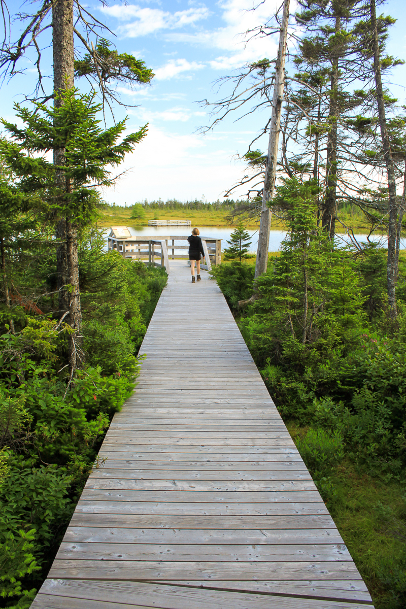
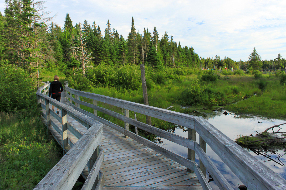
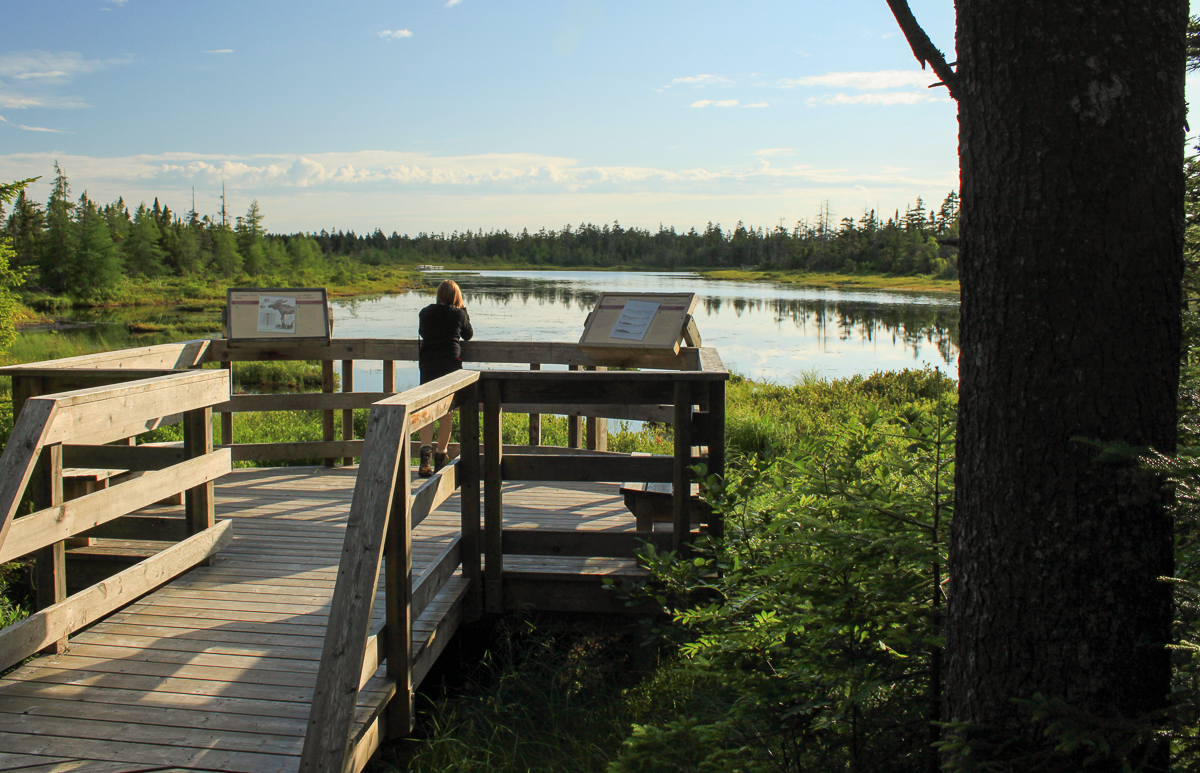
The Caribou Plain Trail is the most accessible trail in the park. The first small loop is a boardwalk that takes you through a wide stream valley and loops around by a small bog. The second larger loop goes through a mixed, older forest. At the end of the larger loop there are two side trails that take you out to lookout platforms on Caribou Lake. Caribou Lake is a small lake that is surrounded by a mossy bog.

There are many interpretive signs along the trail describing the history, the landscape and the animals of this area. Bogs are breeding grounds for flies so make sure you bring bug spray if you are visiting this trail in the summer season. Another technique we use is to try to walk fast so the flies can't catch us. This works but it makes it harder to enjoy the trail.
Map
Directions
For directions to the park go to the Fundy National Park page.
From the visitor centre near Alma take route 114 up the hill. After 10.3 kilometres you will come to the road into the parking lot for the Caribou Plain Trail on the left. Park here. The trail leaves from the right and the end of the parking lot.

From the Sign
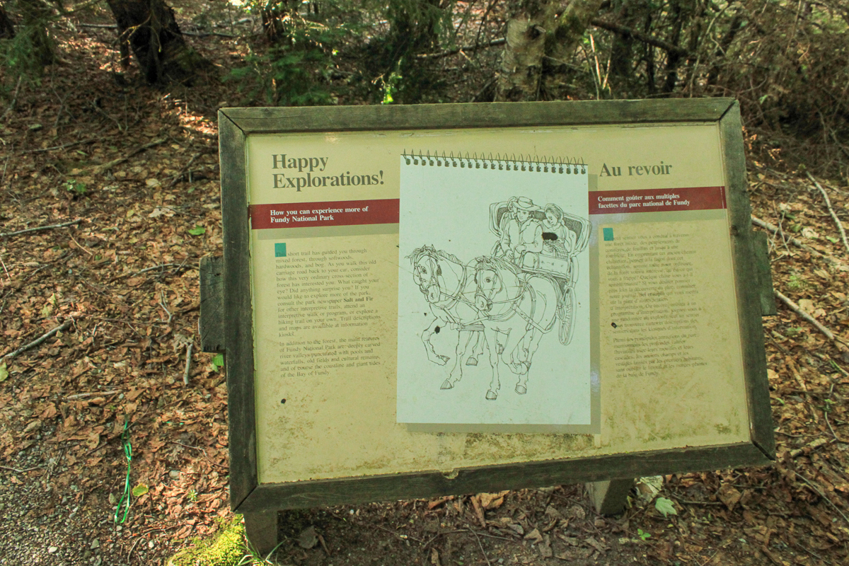
Happy Explorations!
How you can experience more of Fundy National Park
This short trail has guided you through mixed forest, through softwoods, hardwoods, and bog. As you walk this old carriage road back to your car, consider how this very ordinary cross-section of forest has interested you: What caught your eye? Did anything surprise you? If you would like to explore more of the park, consult the park newspaper Salt and Fir for other interpretive trails, attend an interpretive walk or program, or explore a hiking trail on your own. Trail descriptions and maps are available at information kiosks.

In addition to the forest, the main features of Fundy National Park are: deeply carved river valleys punctuated with pools and waterfalls, old fields and cultural remains, and of course the coastline and giant tides of the Bay of Fundy.
From the Sign
Caribou Plain
This trail was named for the herds of woodland caribou that lived here until 1907. It is a 3.4 km loop, and will return you to the parking lot - a leisurely 1 1/2 hour walk. Although you won't see caribou, you will see many plants and animals typical of Fundy's mixed forest, perhaps even white-tail deer and moose. Interpretive signs along the trail will point out the differences between four plant and animal communities -- mixed forest, softwood forest, bog, and hardwood forest.

From the Sign
Caribou Plain Bog
How a flark is formed and even the mighty moose gets mired
This bog has been growing for more than 8,000 years. It is a giant mound of sodden peat, four metres deep at this spot. Sometimes, rotten spots appear in a bog where peat has decomposed and been turned into a slurry. As dangerous as quicksand, these are called flarks. Since this trail was built, at least two mooose have been trapped by the flark between here and the lake. Both were found and pulled out. One survived, the other died beside the trail in October 1981. Please stay on the boardwalk.

From the Sign
Between Snow Melt and Summer Shade
How the forest floor reflects changes in the season
Summer's leaves tumble to the forest floor in October, forming a protective winter blanket for understory plants and small animals such as spiders, insects, woodmice, salamanders, and shrews. During the winter, plants and many animals lie dormant in the soil while hungry shrews hunt down voles and other prey in their snowy labyrinths. Spring's wildflowers blanket the sun-dappled ground from late May to early June, until sunlight is filtered away by overhanging tree leaves and fern fronds. In the shade of summer, ferns and evergreen clubmosses thrive in the rich humus.

From the Sign
Bog Bonsai
How plants adjust to the difficult growing conditions of the bog
These tiny spruce ad larch trees are as old as the tallest trees in the surrounding forest. The acidic peat in which these dwarfs grow is almost totally lacking in oxygen and mineral nutrients. So stunted are they by life in the bog that some have lived for 150 years or more without producing a single seed. Insulated from mineral soil by thick layers of peat, bog plants must survive on nutrients carried in by wind, rain, and fog. Others lure, trap, and digest insects and other small animals, taking advantage of the nutrients in the bodies of their prey.

Other Trails in the Park
- Bennett Brook Trail
- Black Hole Trail
- Black Horse Trail
- Coastal Trail
- Coppermine Trail
- Dobson Link
- Dickson Falls Trail
- East Branch Trail
- Foster Brook Trail
- Goose River Trail
- Herring Cove Beach
- Kinnie Brook Trail
- Laverty Falls Trail
- Marven Lake Trail
- Matthews Head Trail
- Maple Grove Trail
- Moosehorn Trail
- Point Wolfe Beach Trail
- Shiphaven Trail
- The Forks Trail
- Third Vault Falls Trail
- Tippen Lot Trail
- Tracey Lake Trail
- Upper Salmon River Trail
- Whitetail Trail
Trail Last Hiked: July 16, 2011.
Page Last Updated: January 5, 2023.


